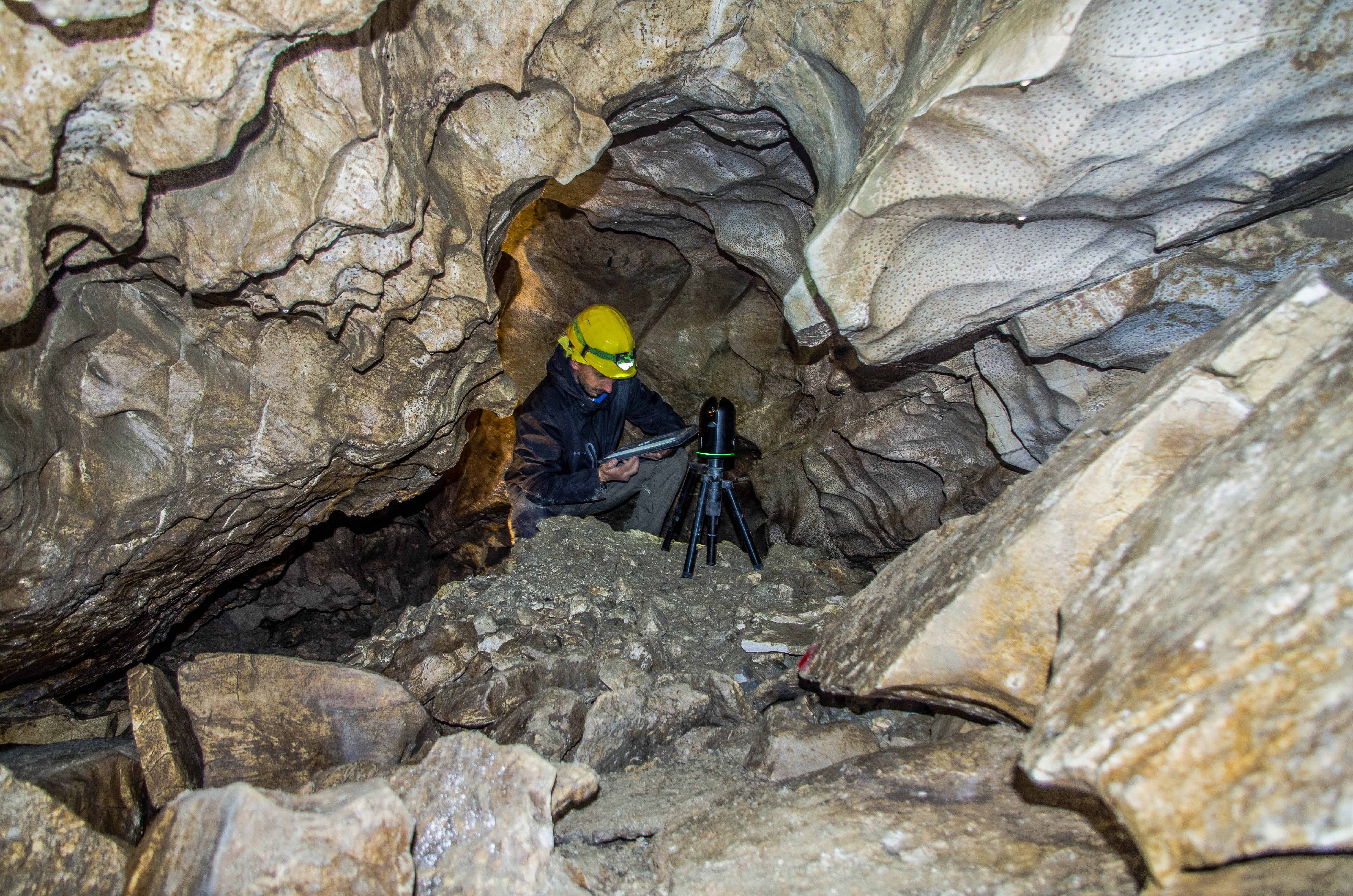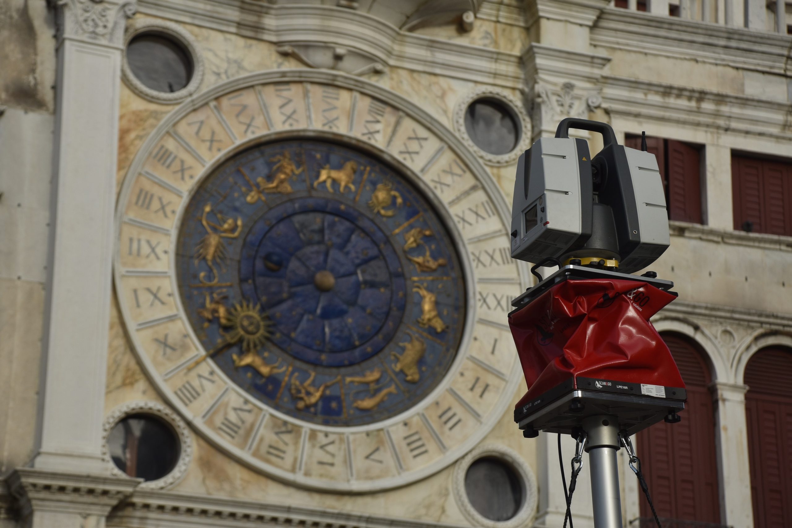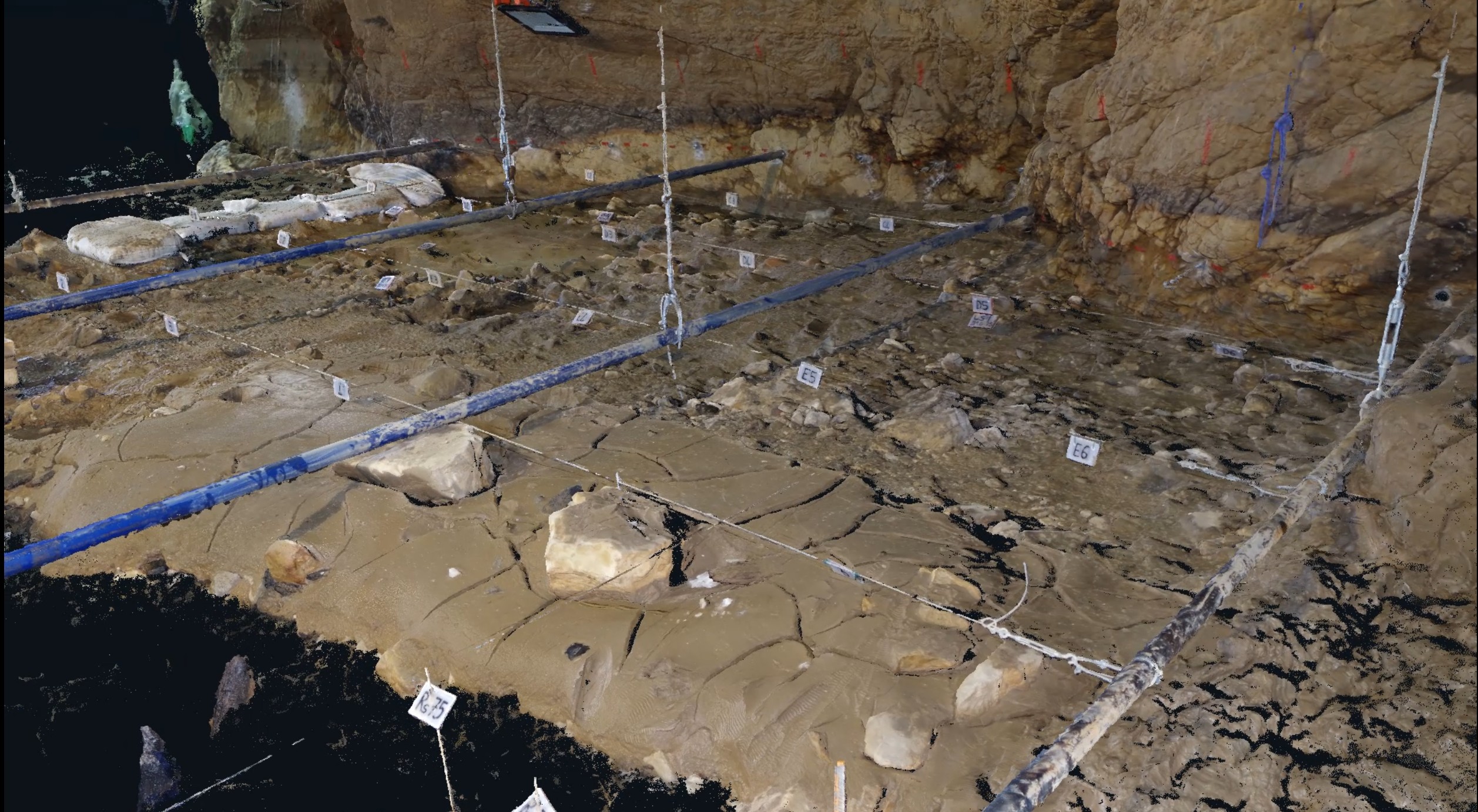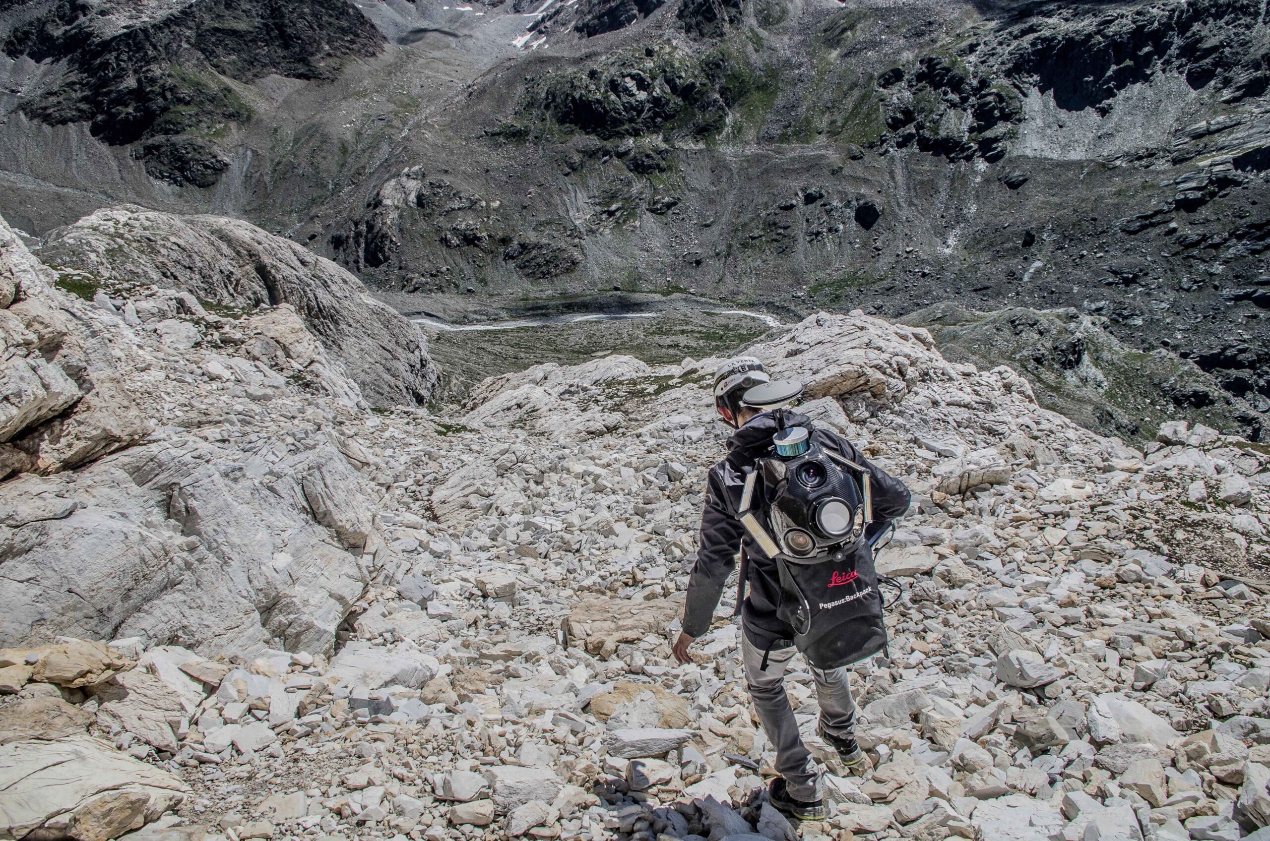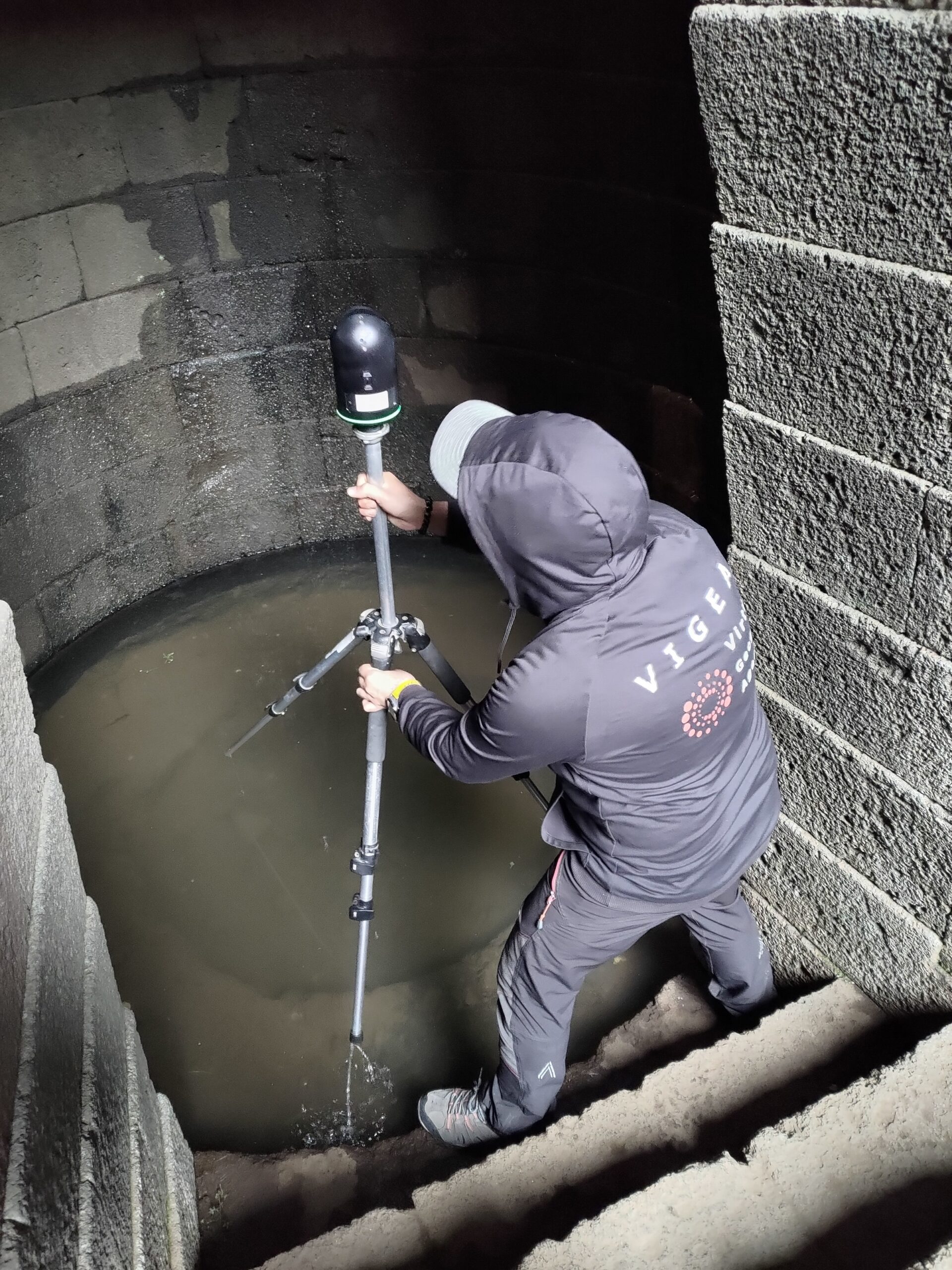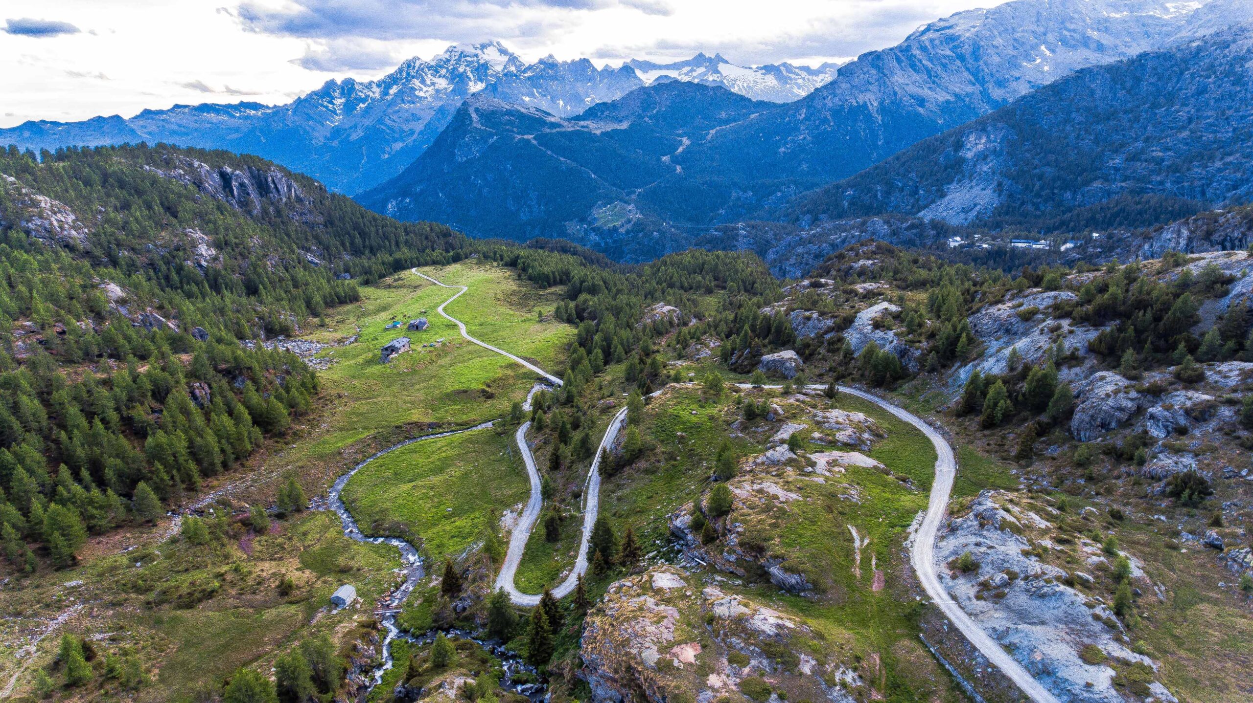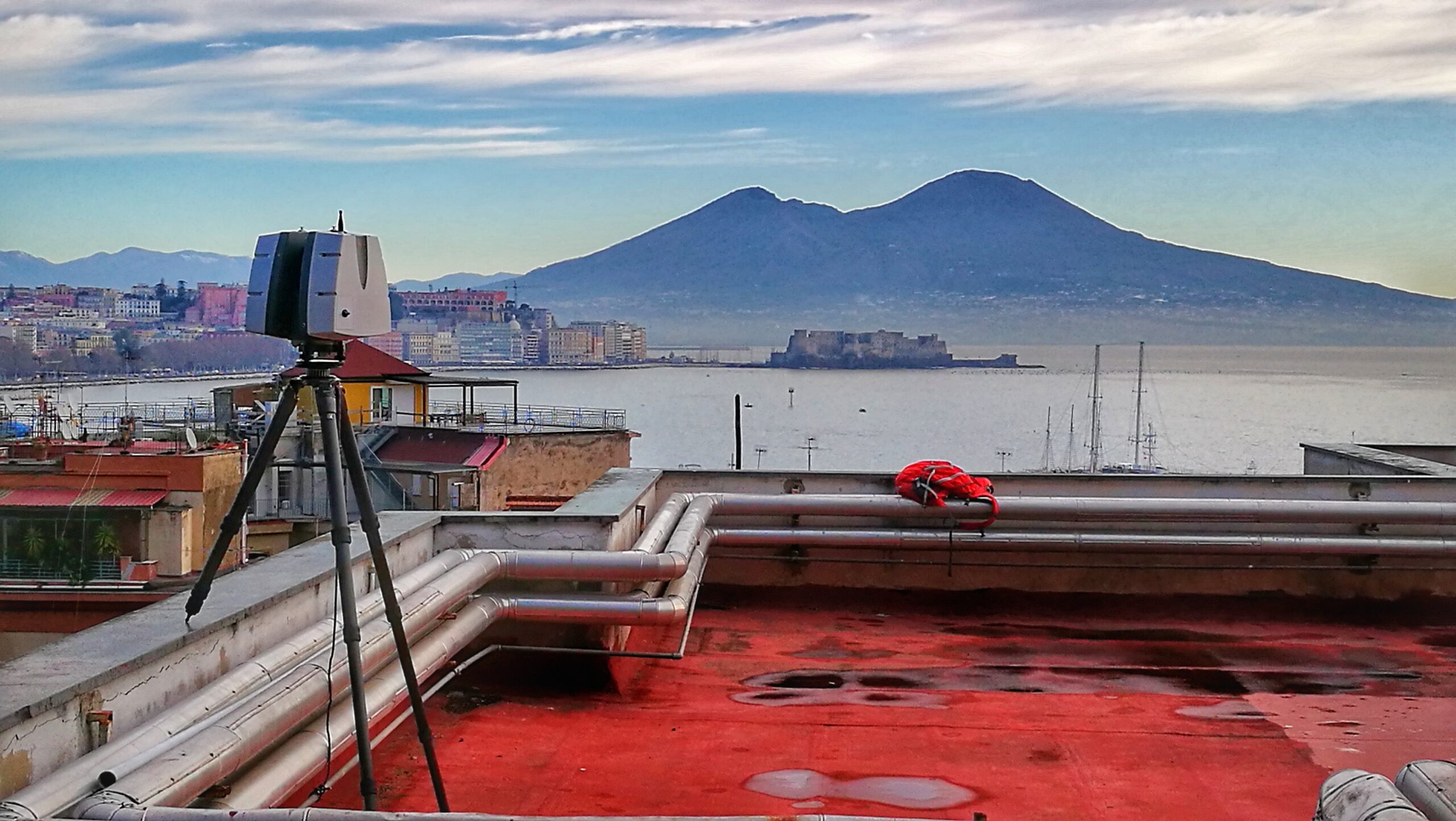
We are dealer and leading company in the Italian market for LIDARETTO, the innovative 3D scanning system that captures large amounts of spatial information and transforms it into three-dimensional data usable in a wide variety of professional fields: from topography to construction, from architecture to design, from cultural and archaeological heritage documentation to land and infrastructure management.
Thanks to our experience in the sector and direct knowledge of the operational needs of professionals, we are the Italian partner to turn to for understanding, purchasing, and integrating Lidaretto technology into your surveying activities.
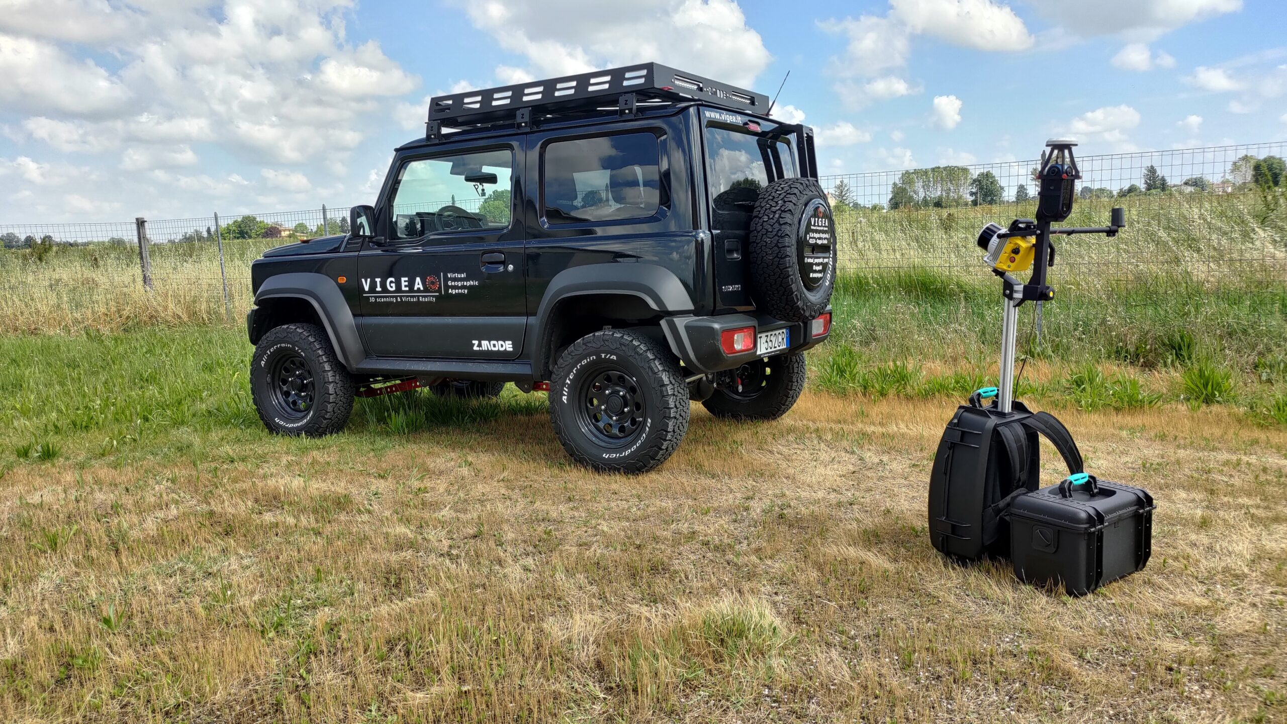
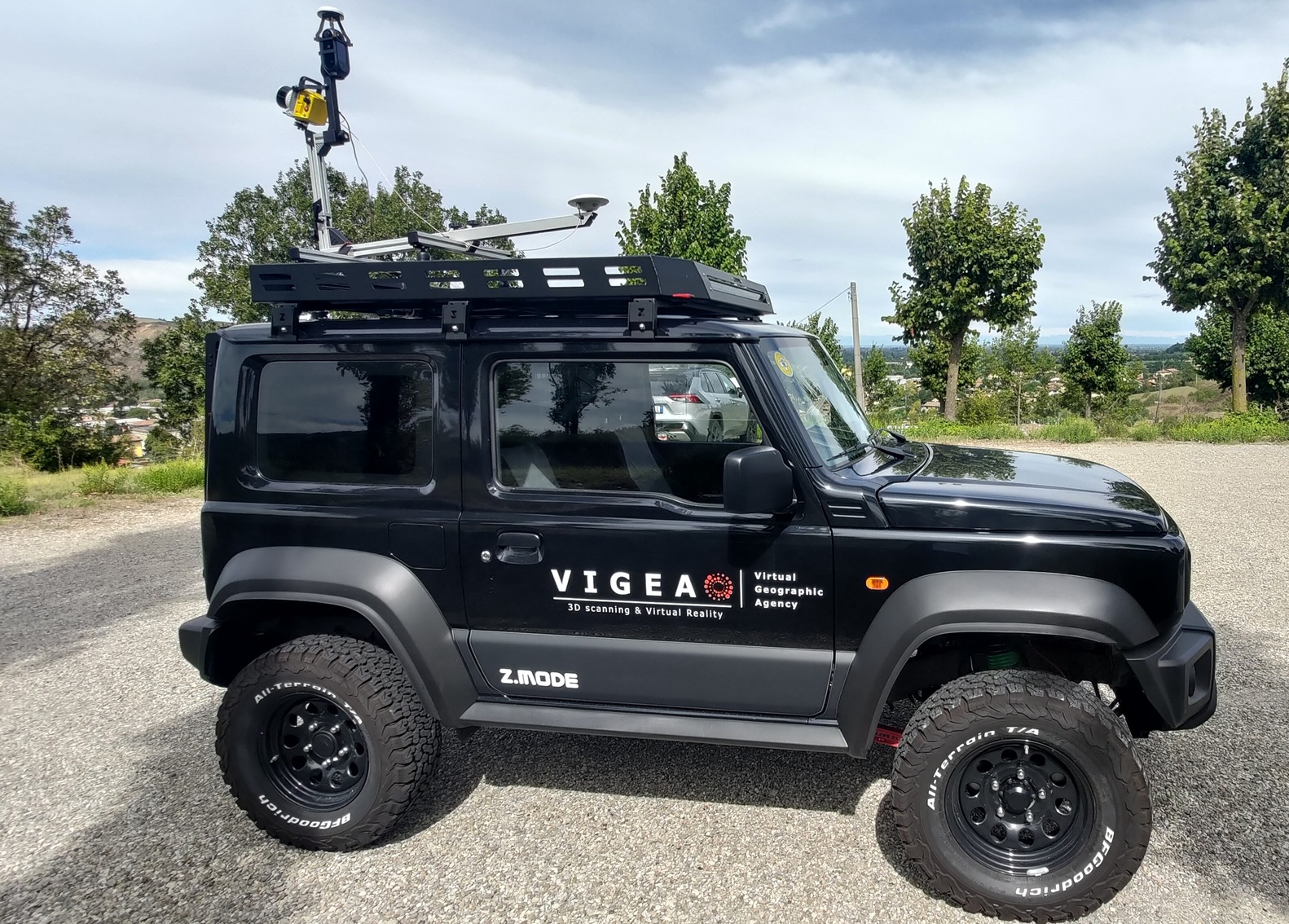
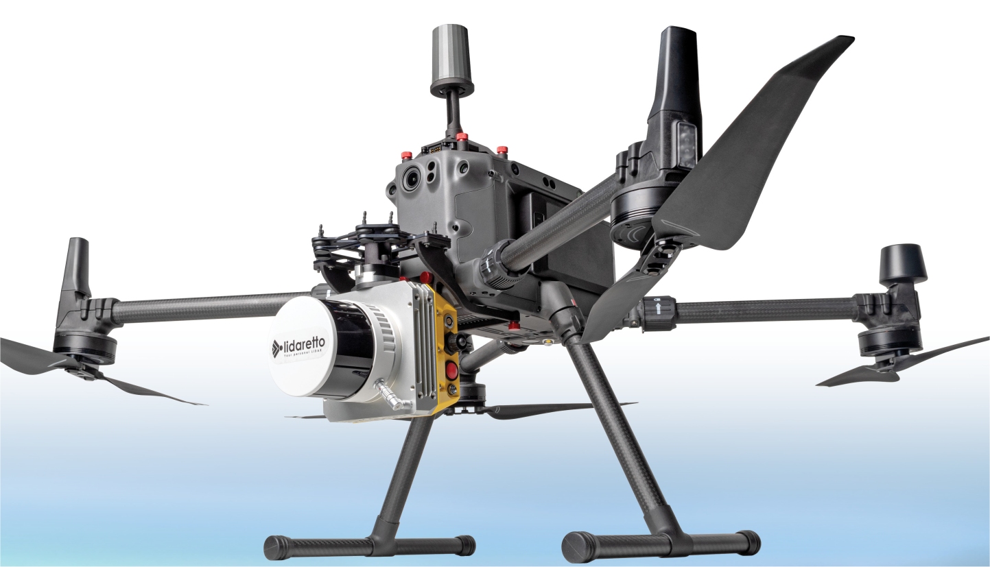
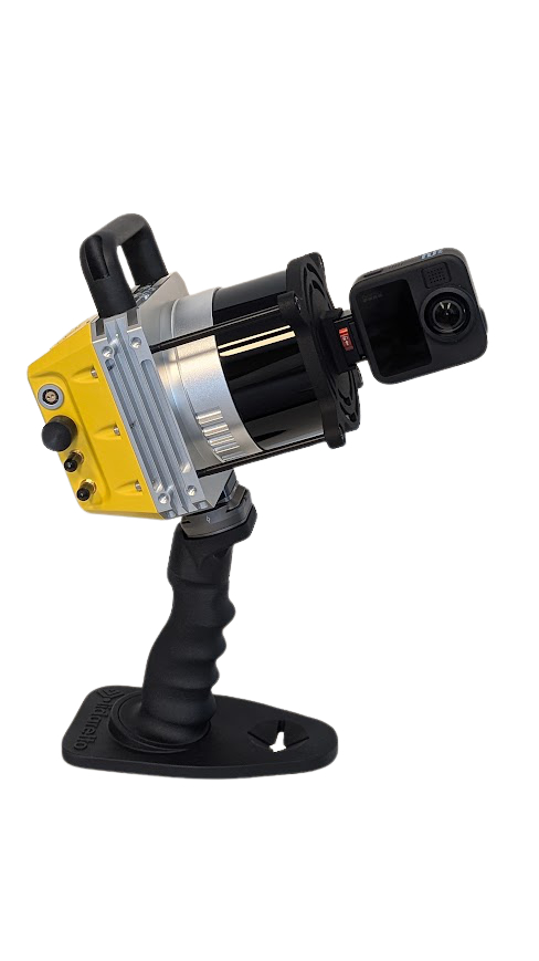
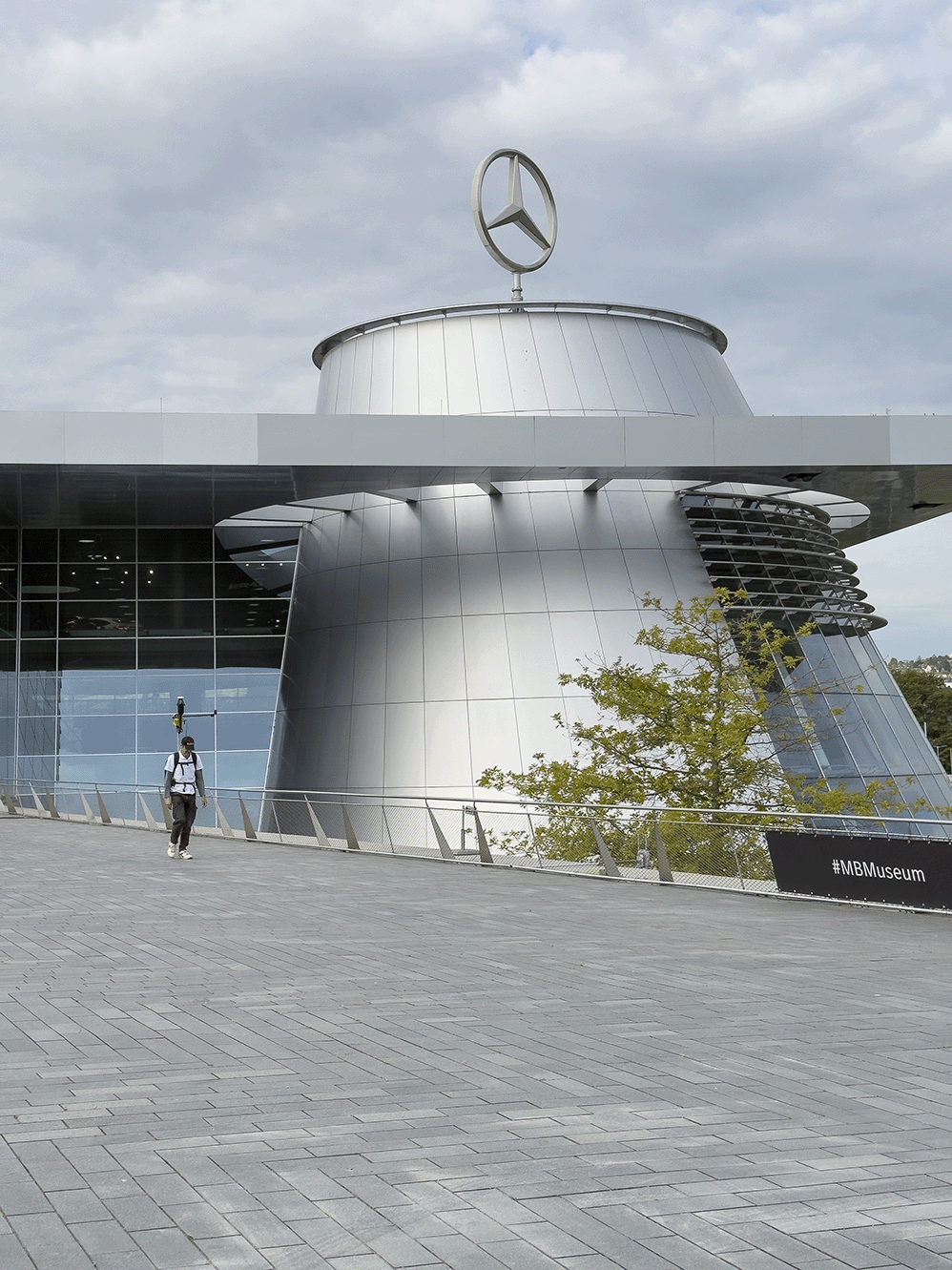
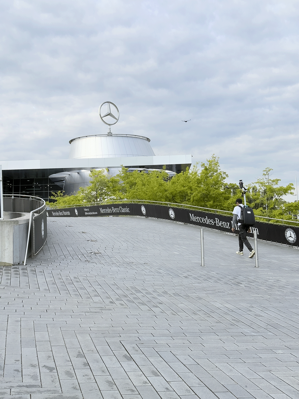
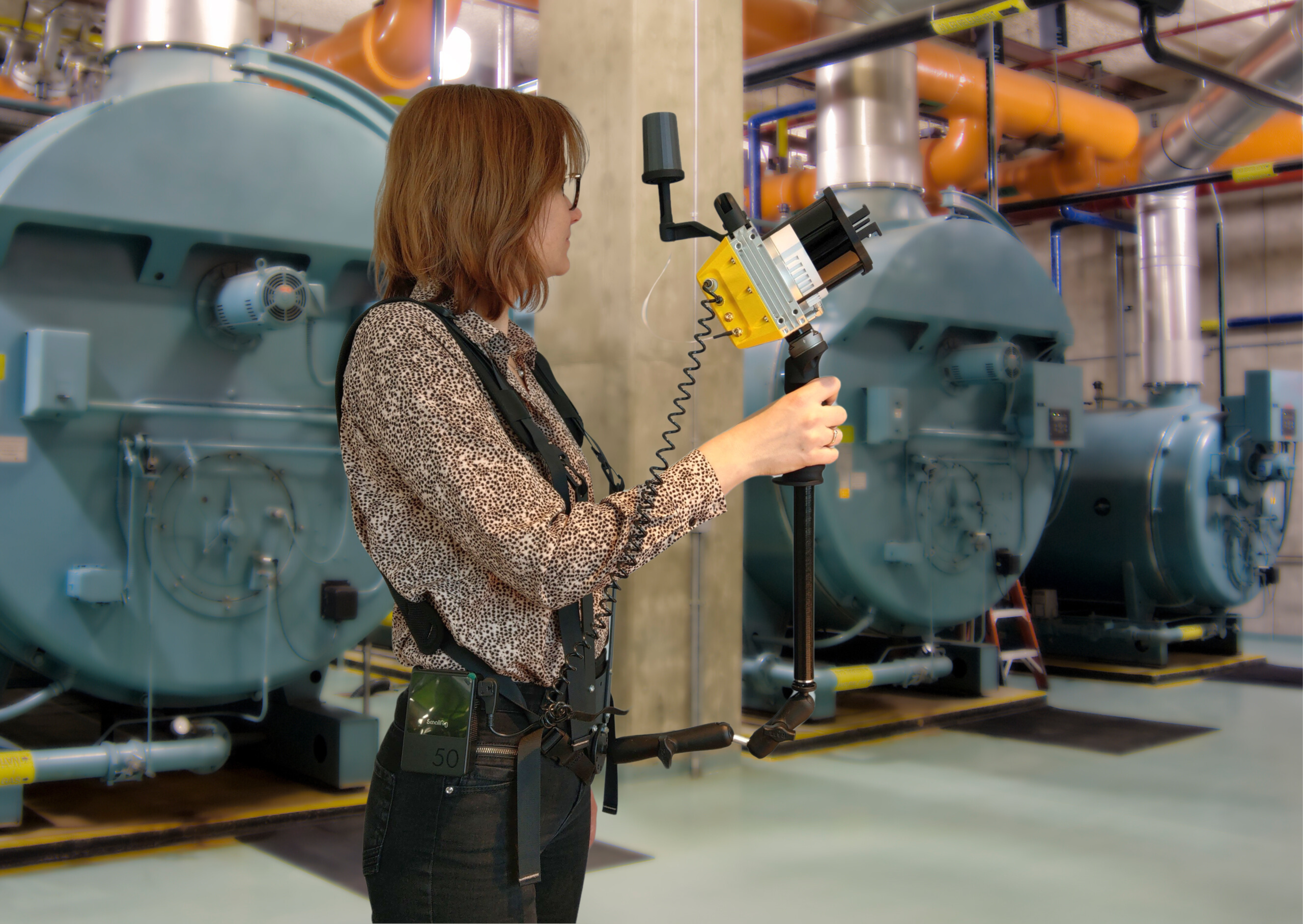
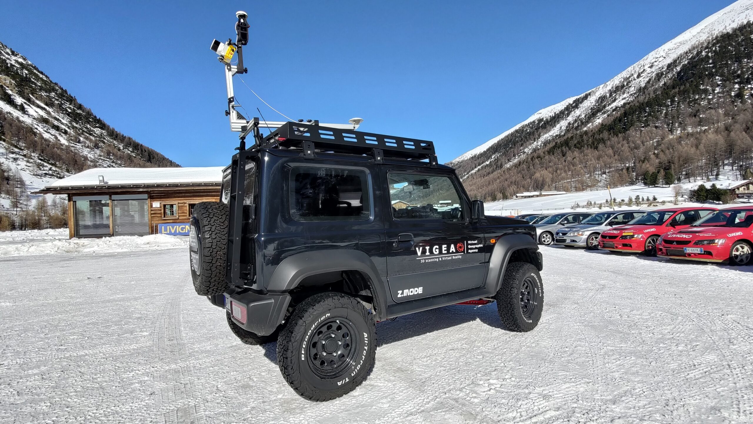
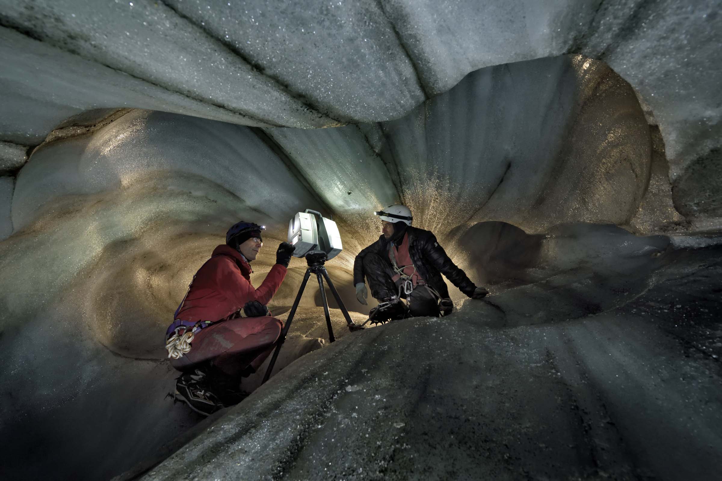
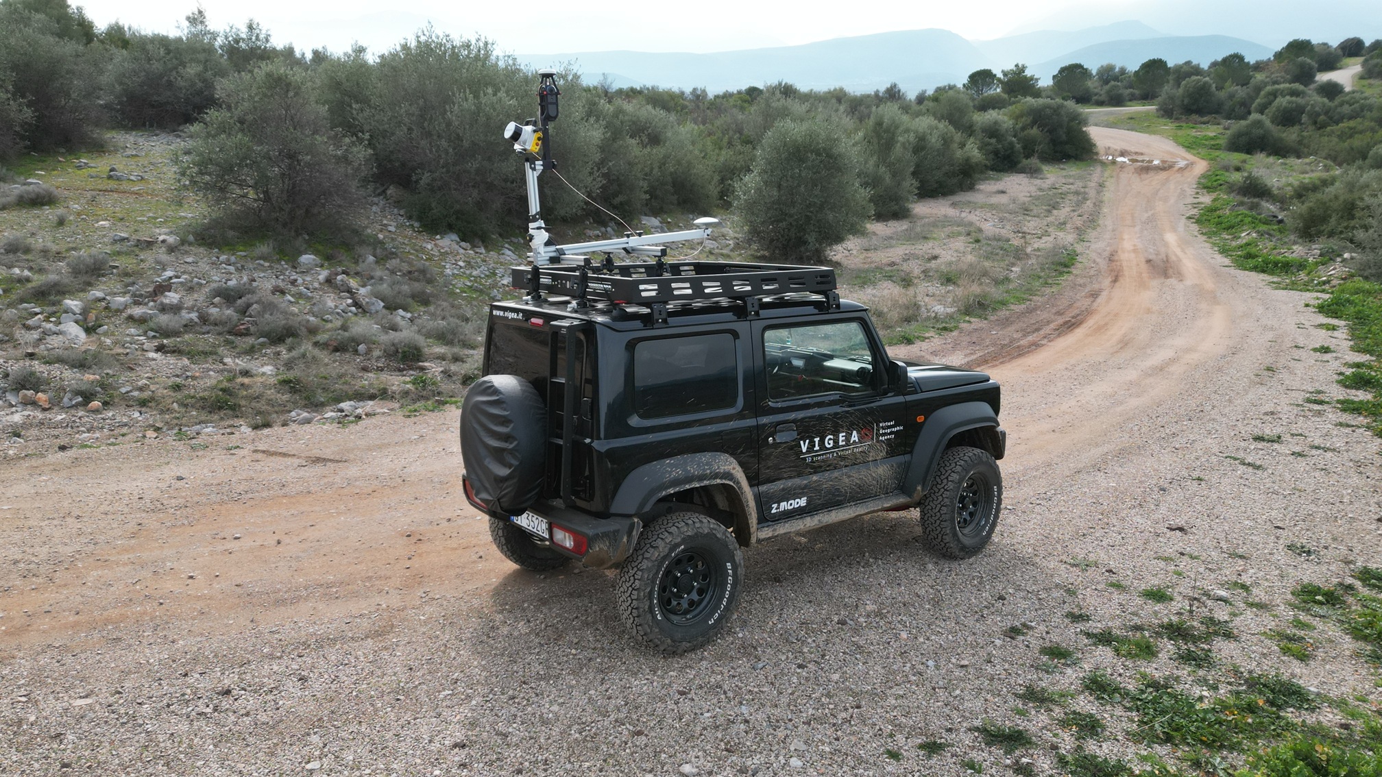
Lidaretto represents an innovative approach to 3D scanning, with technology designed to make reality capture increasingly faster, simpler, more flexible, and more accessible: a single tool that can be used to perform 3D scans while walking, mounting the instrument on the roof of a car, or mounted on a drone.
The system allows the acquisition of large amounts of georeferenced spatial data (in PKK mode) or without GNSS coverage (in SLAM mode) for use in a wide variety of professional fields: from topography to construction, from architecture to design, from heritage documentation to land and infrastructure management.
The goal is to reduce field acquisition times and increase the quantity and quality of information available for subsequent processing and design phases.
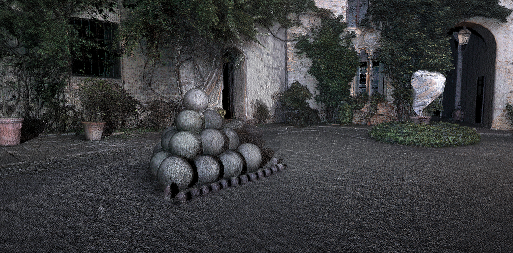
3D scanning is transforming the way surveys are conducted. Having an effective tool means being able to fully capture reality and have a richly informative digital model, reducing the need for repetitive operations in the field.
Among the main advantages: