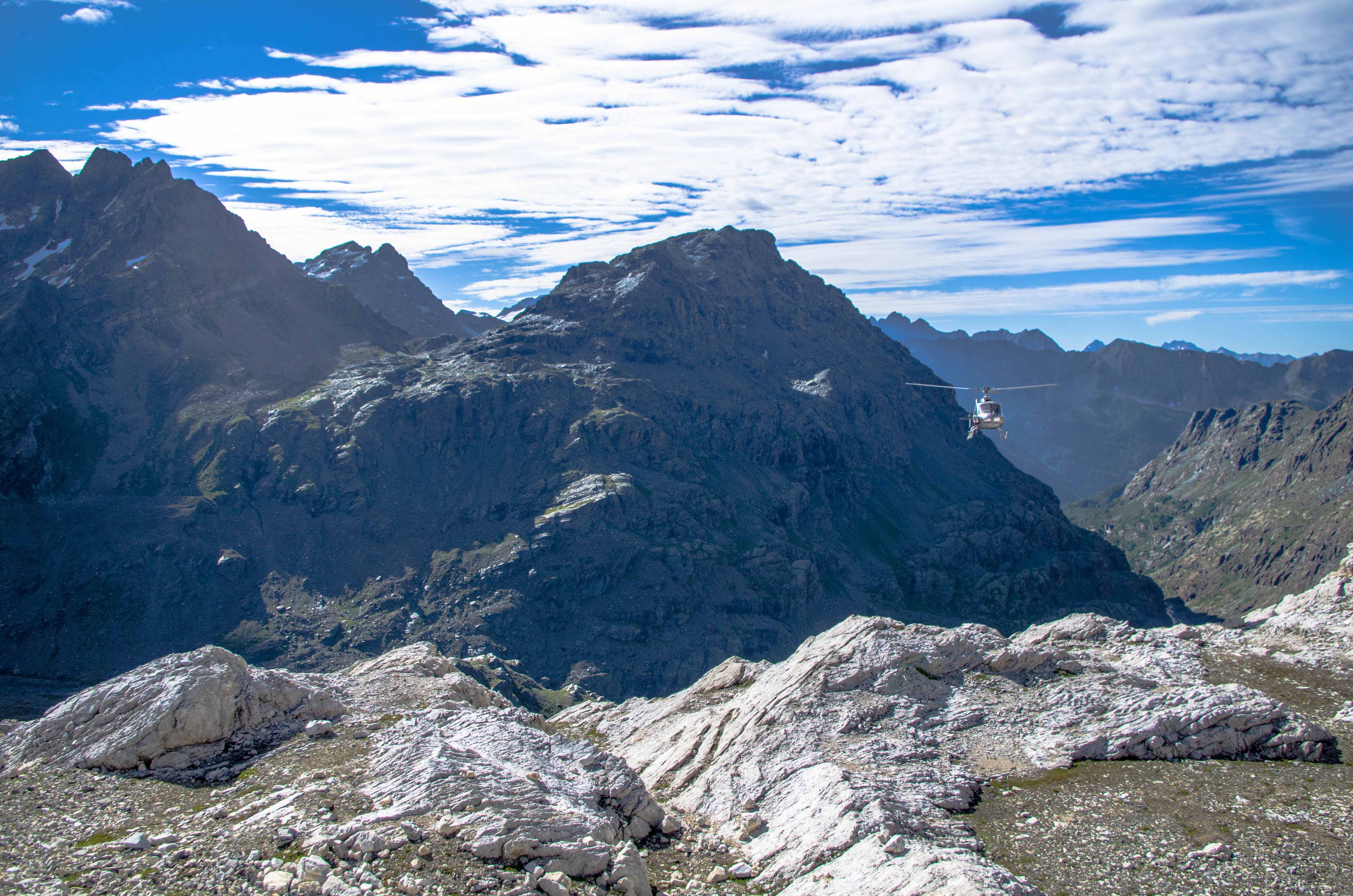
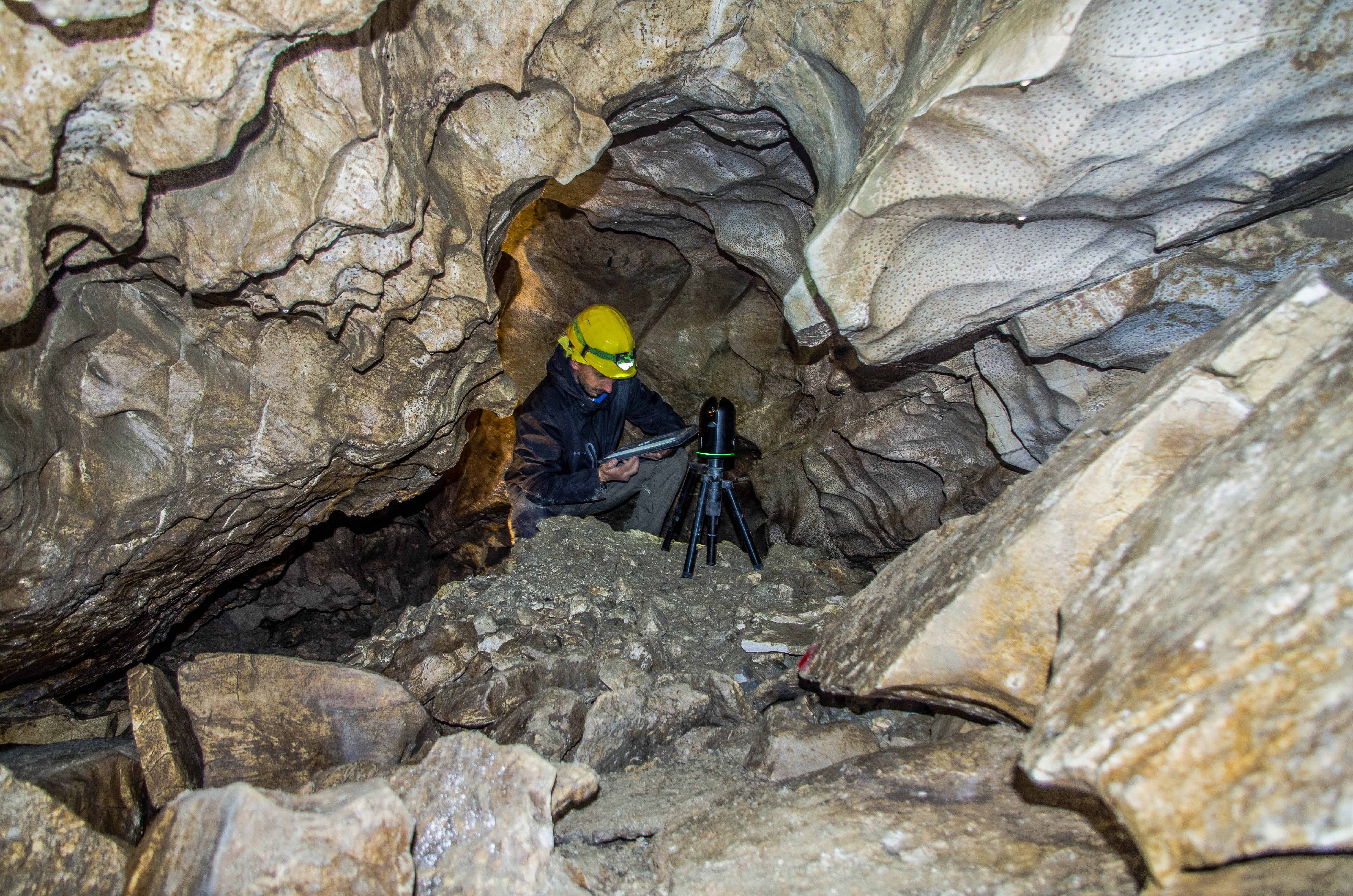
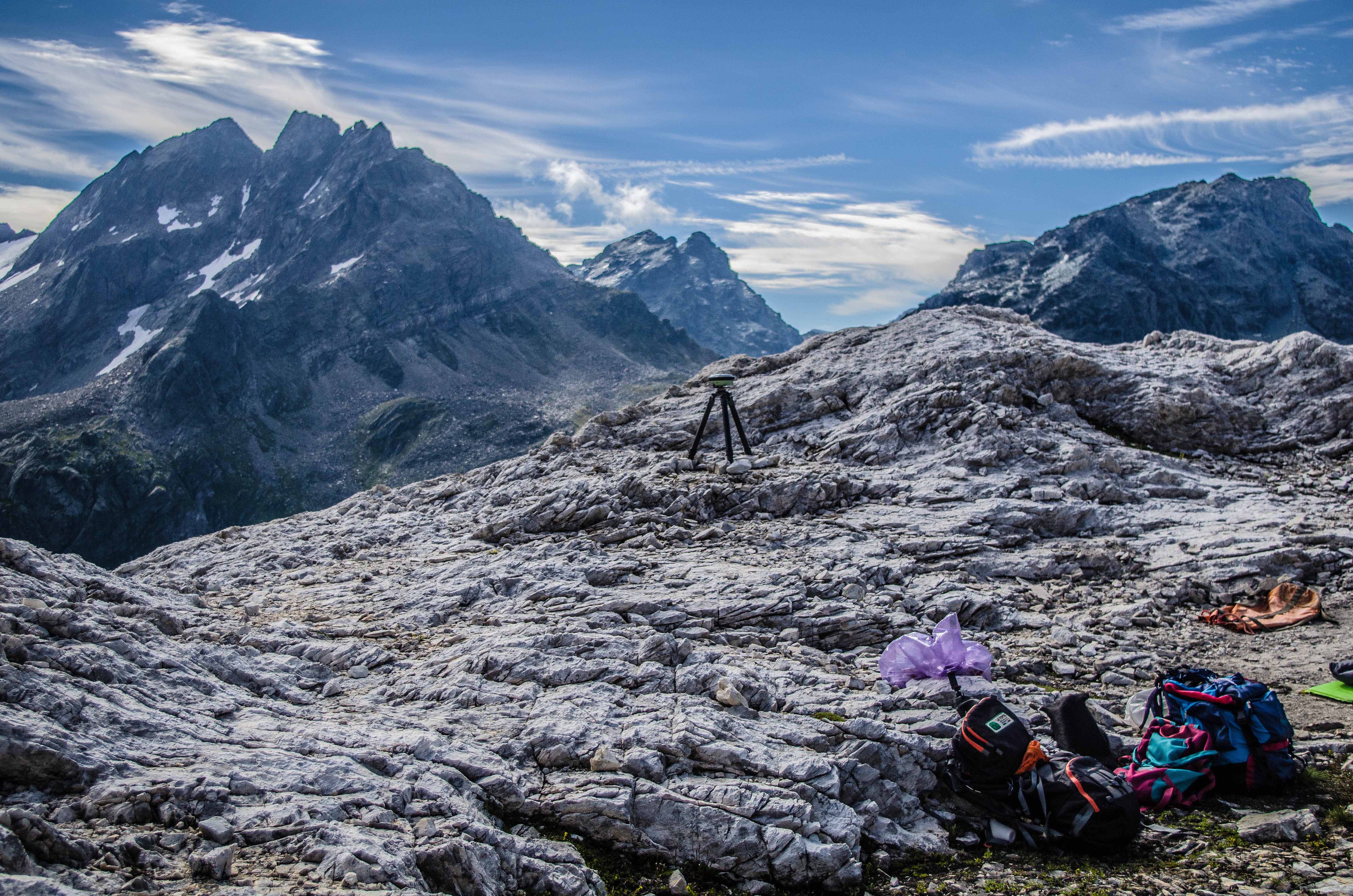
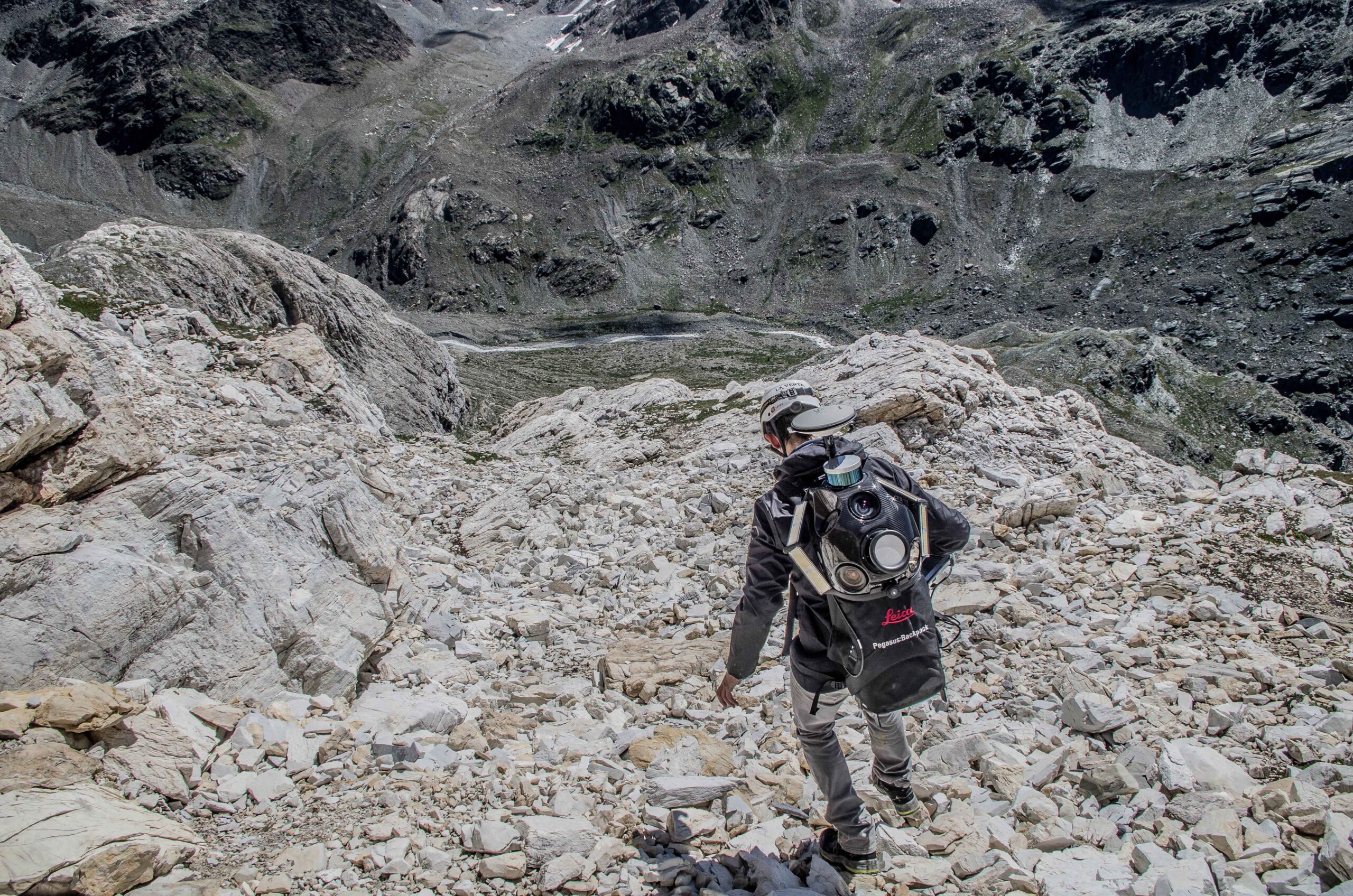
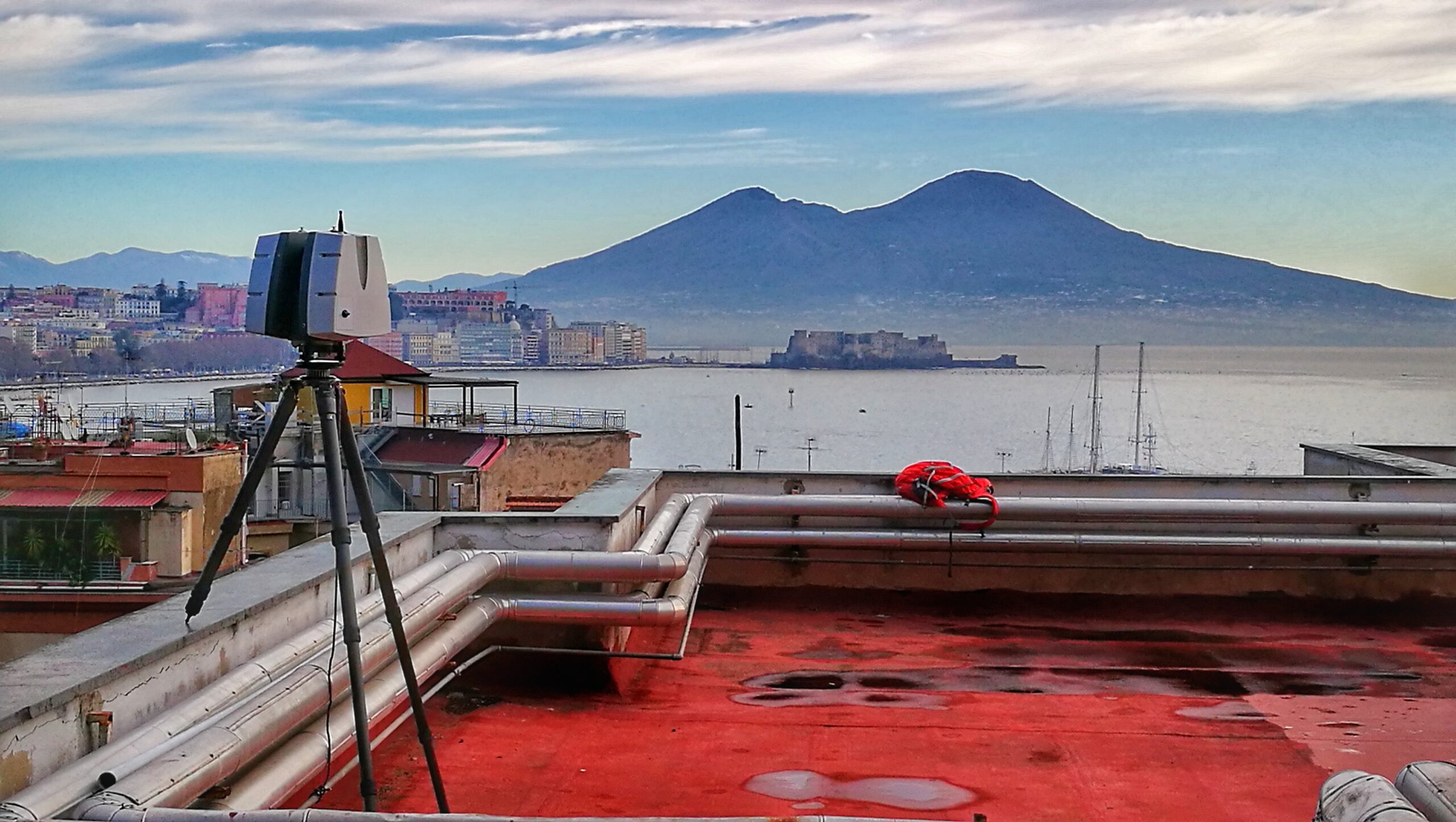
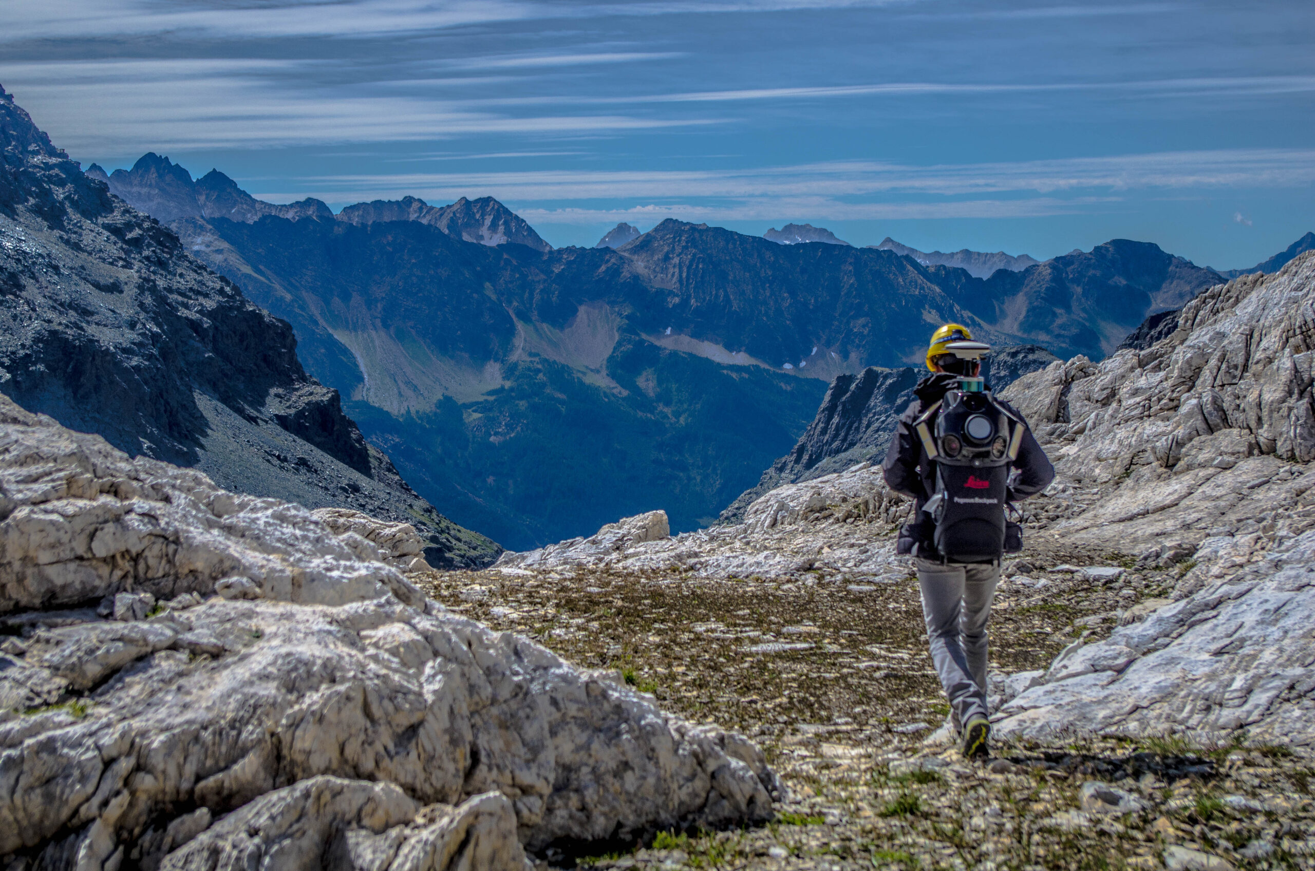
ABOUT US

Vigea born from the collaboration of professionals who have been working in the field of three-dimensional surveys for 3D modeling of industrial, topographic and geological surveys even in inaccessible environments that are difficult to reach. Our passion for the work we do is our strength Through the skills acquired by collaborating for scientific projects with universities, private companies and research institutes even in the field of testing new technologies for three-dimensional survey, we are able to find the right solution for every type of project!
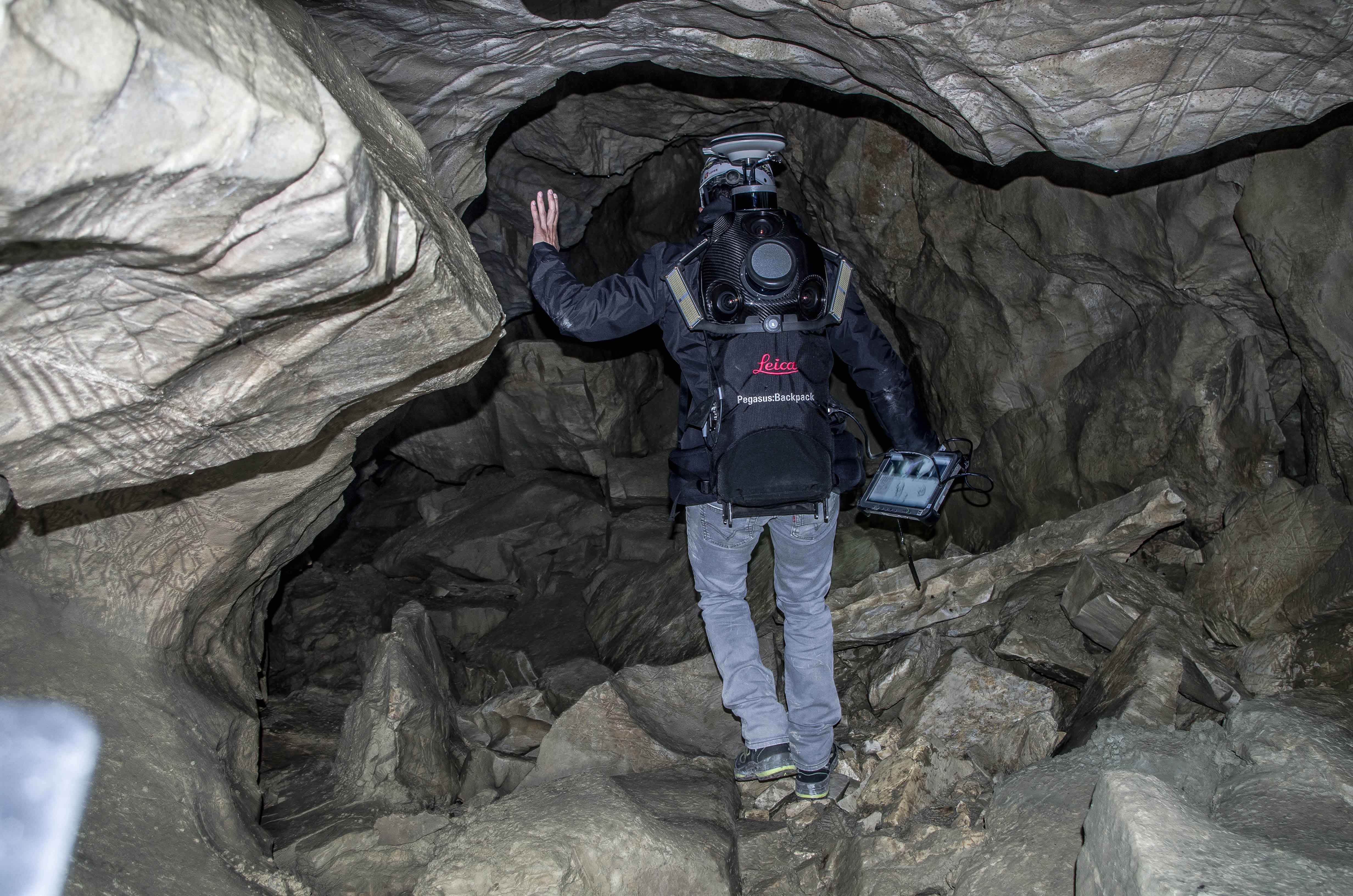
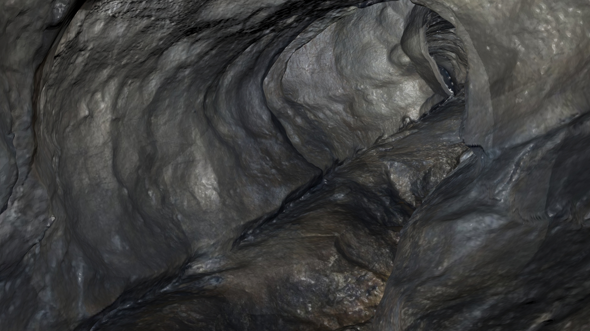
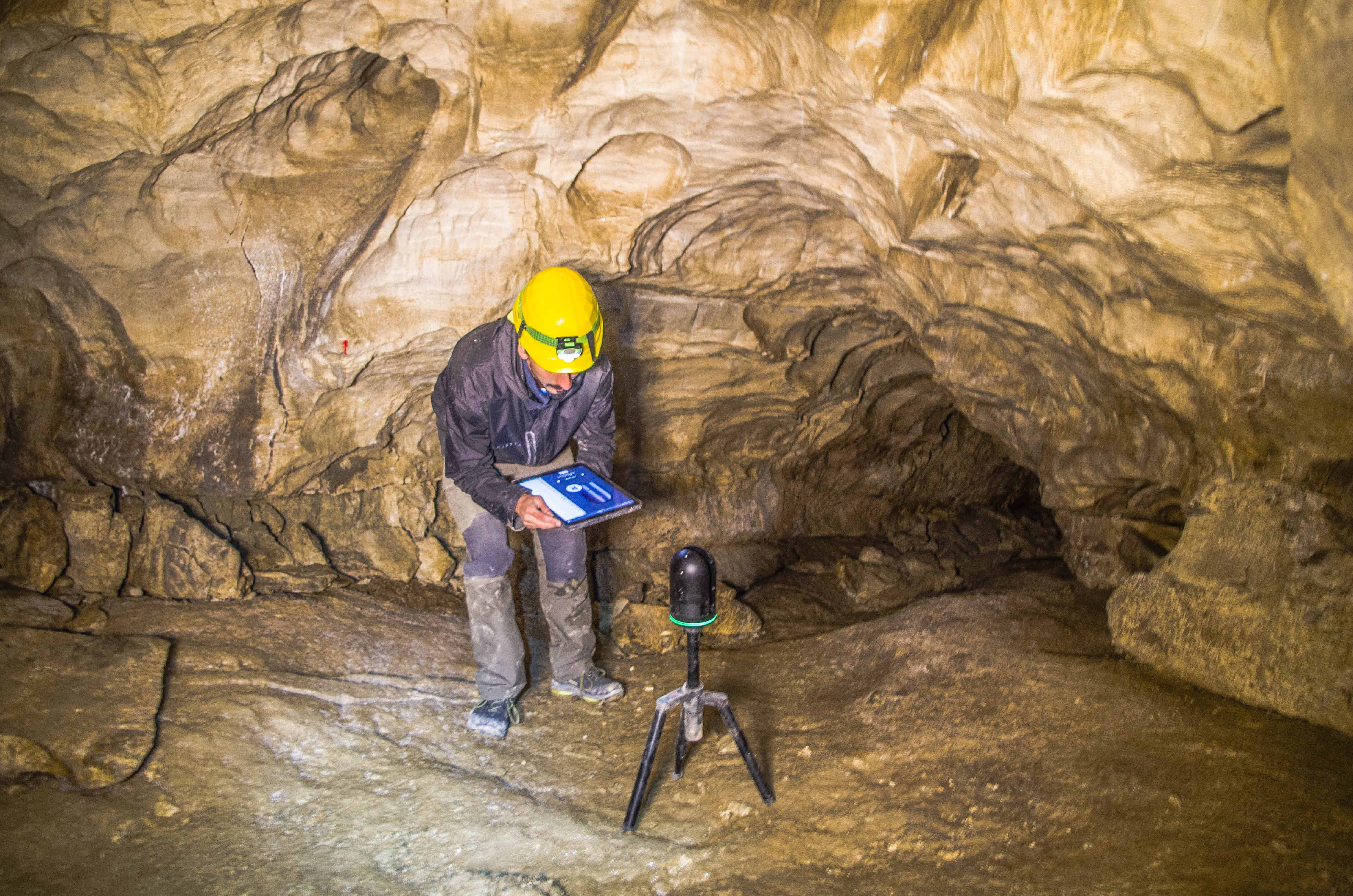
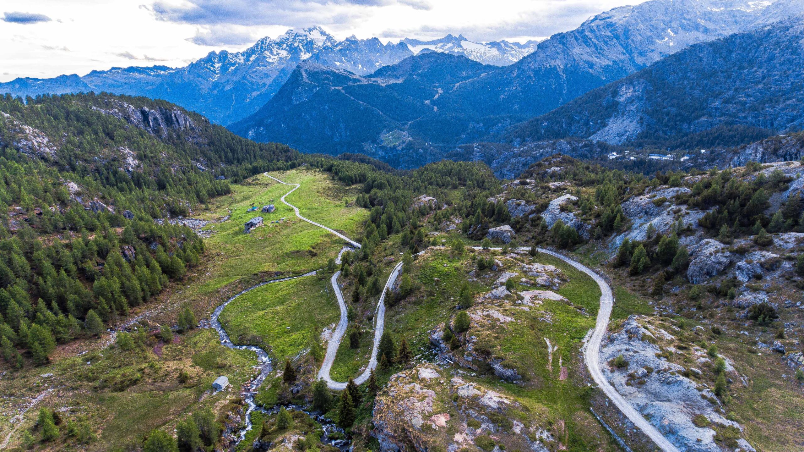
OUR TEAM

From topography to architecture, through artificial and natural cavities, 3D animations for documentaries, realization of virtual exhibitions, testing of new tools for research projects with private companies and universities.

We are professionals who have been working in the field of three-dimensional surveys and 3D modeling in different fields for years, we decided to put together our skills because we believe in the use of new technologies for three-dimensional survey and dissemination through virtual reality and increased.

Here are some scientific publications and research projects we have realized:

The Cenote Project: monitoring a high-altitude ice cave in the Dolomites, Italy

Lunar Caves Exploration with the DAEDALUS Spherical Robot

Marius Hills Skylight hazard characterization as a possible landing site for lunar subsurface exploration

Terrestrial laser scanning, geomorphology and archaeology of a Roman gypsum quarry (Vena del Gesso Romagnola area, Northern Apennines, Italy)

Lava tubes on Earth, Moon and Mars: A review on their size and morphology revealed by comparative planetology

Volcanic Caves of Lanzarote: A Natural Laboratory for Understanding Volcano-Speleogenetic Processesand Planetary Caves

Rilievi tridimensionali e osservazioni geomorfologiche nell’antica cava di Cà Castellina (Monte Mauro, Ravenna)

Geomorphological and speleogenetical observations using terrestrial laser scanning and 3D photogrammetry in a gypsum cave (Emilia Romagna, N. Italy)

Subsurface laser scanning and photogrammetry of the Corona Lava Tube System, Lanzarote, Spain

Reconstructing the subsurface of planetary volcanic analogues: ERT imaging of Lanzarote lava tubes complemented with drone stereogrammetry, surface and in-cave LiDAR and seismic investigations

GALLERY

LET’S KEEP IN TOUCH!

You can write us through the form below, we will reply as soon as possible!


WHERE WE ARE