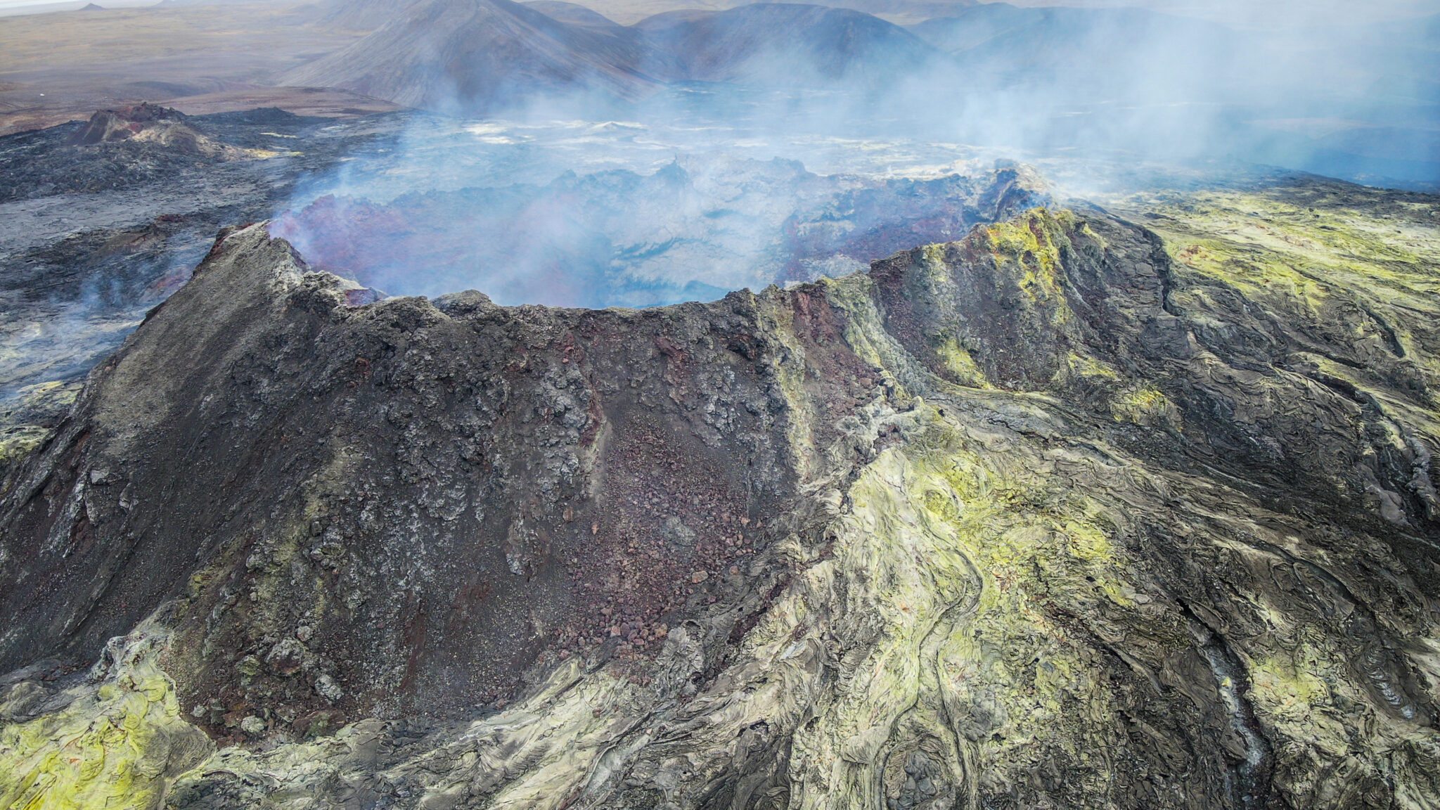
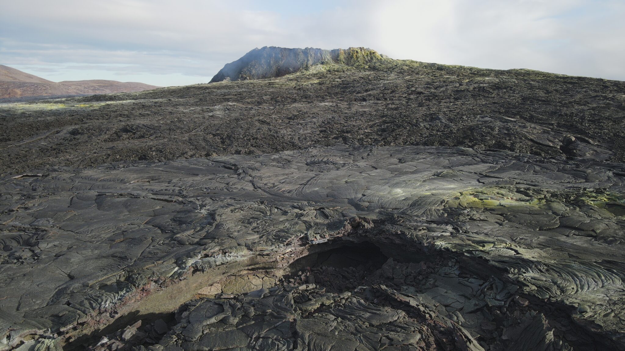
In 2021, the Icelandic volcano Fagradasfjall gave rise to a series of spectacular eruptions that attracted the attention of geologists, researchers and tourists from all over the world. From the very beginning, our mission was to accurately document the evolution of the crater morphology and in particular of the volcanic cavities formed following the volcanic eruptions, providing a digital and interactive representation of this extraordinary natural event.
This project was carried out in collaboration with the Italian association La Venta Esplorazioni Geografiche and with the support of National Geographic, as well as numerous other partners who contributed to the realization of various scientific and documentation activities.
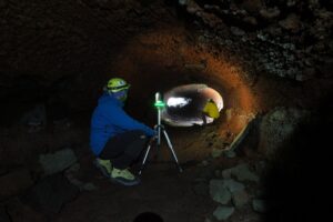
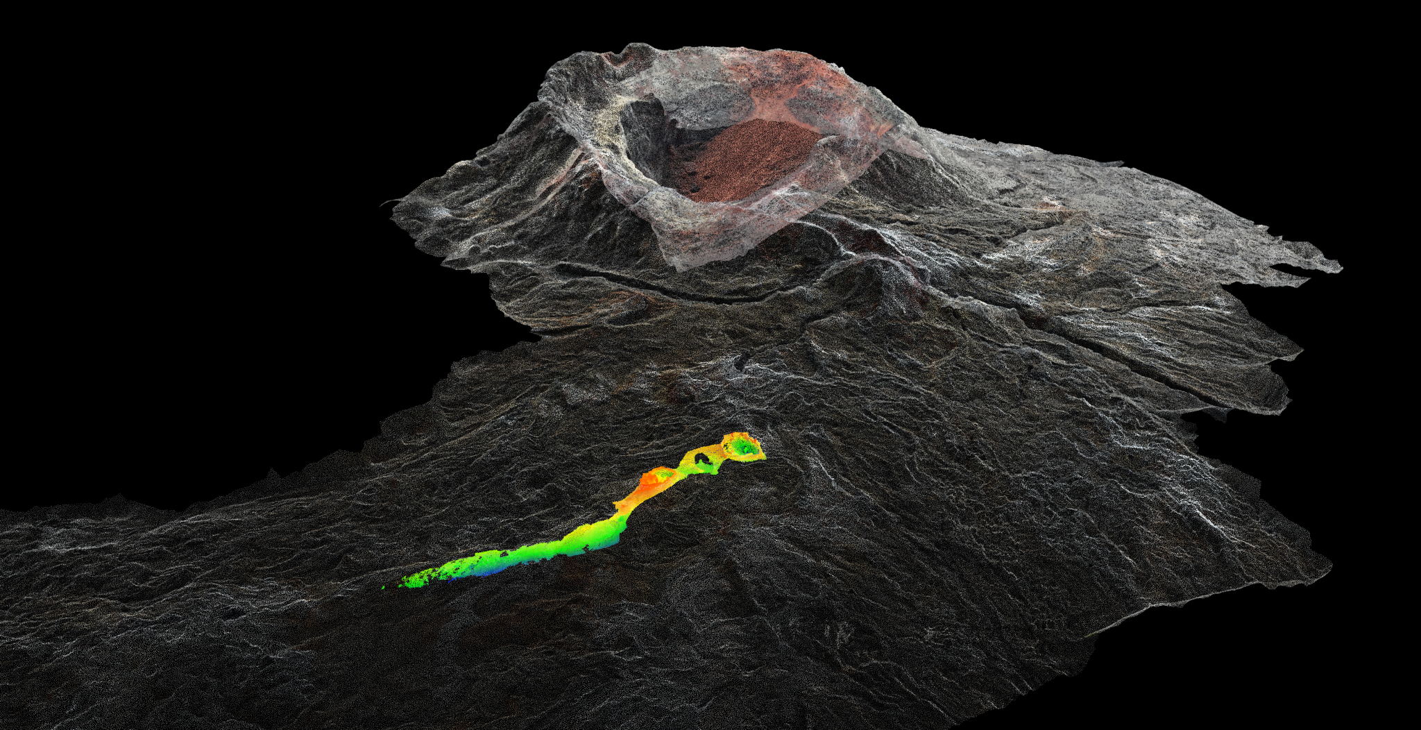
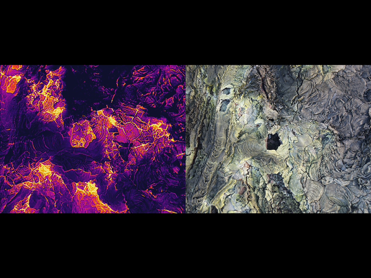
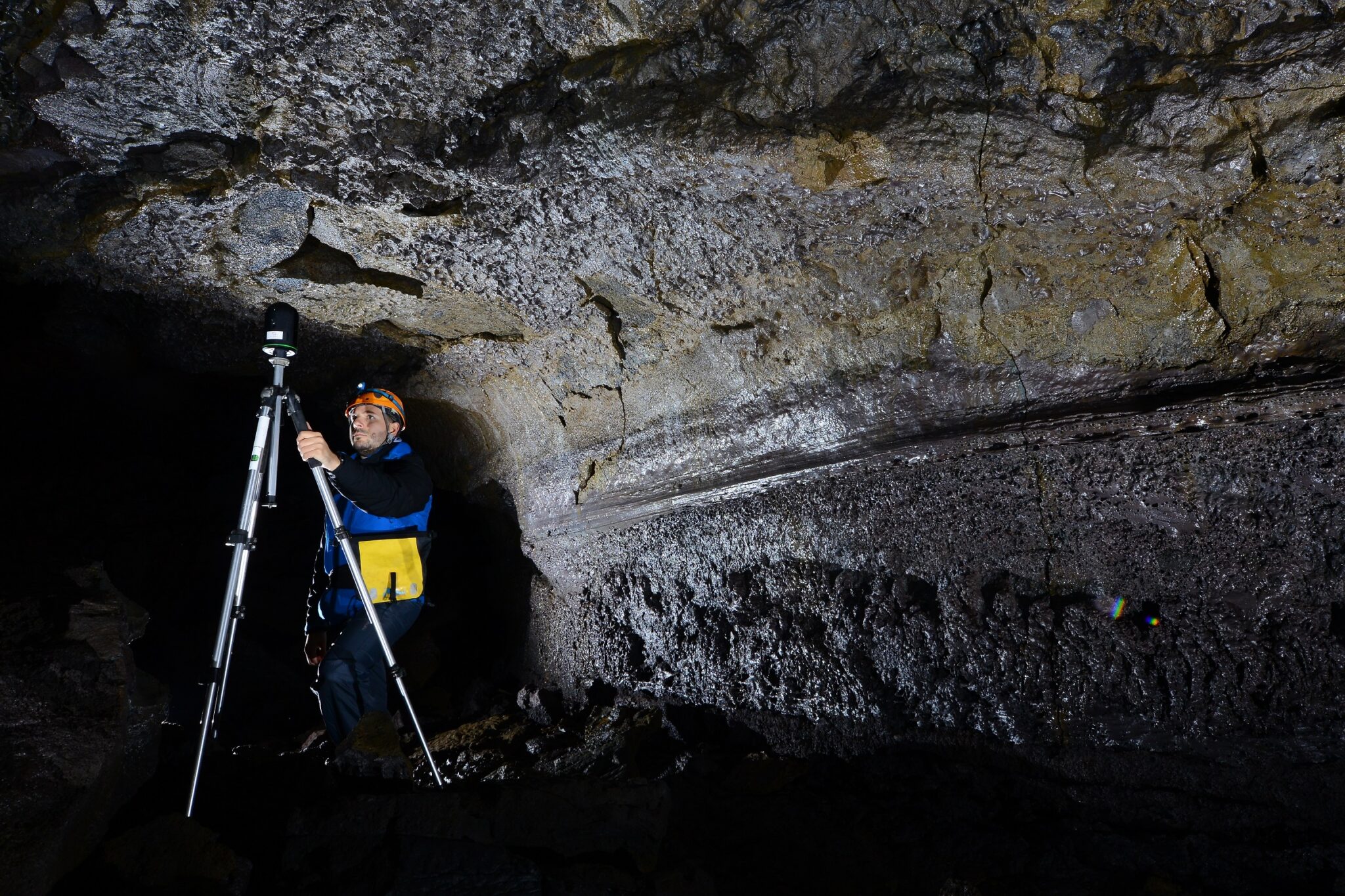
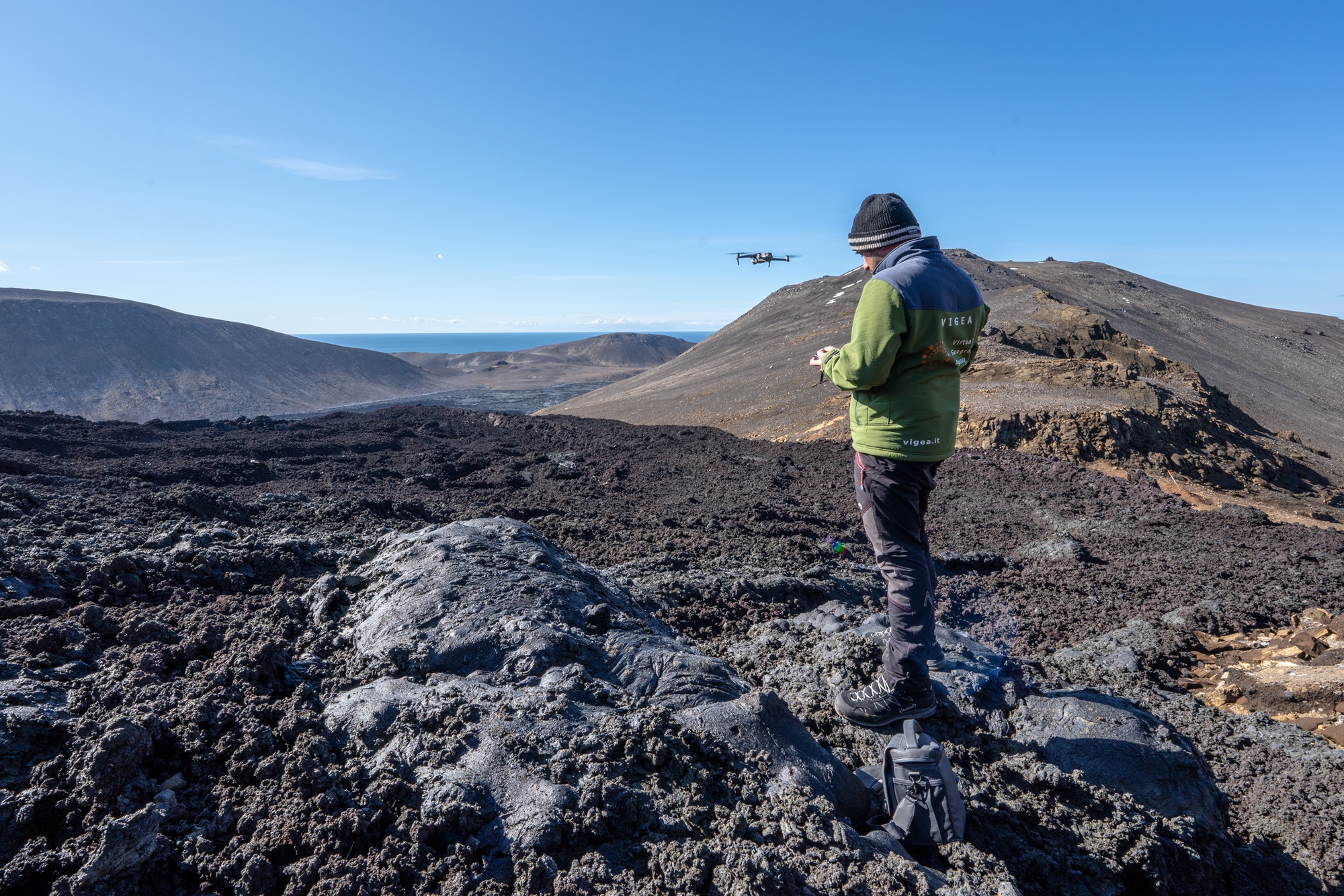
Using collision-tolerant drones equipped with thermal cameras and 3D laser scanners, we were able to obtain a complete visualization of the area, even in the most difficult to access areas, such as caves.
Three-dimensional restitution is essential for understanding the eruptive process, assessing the impact on the territory and planning any future monitoring interventions, allowing geologists, researchers and the curious to explore the volcano remotely, visualizing every detail of the eruptive activity and its modifications.