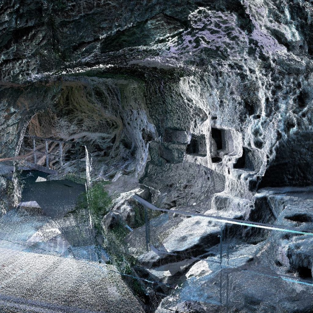
Photogrammetry & mobile mapping
Our 3D models on Sketchfab
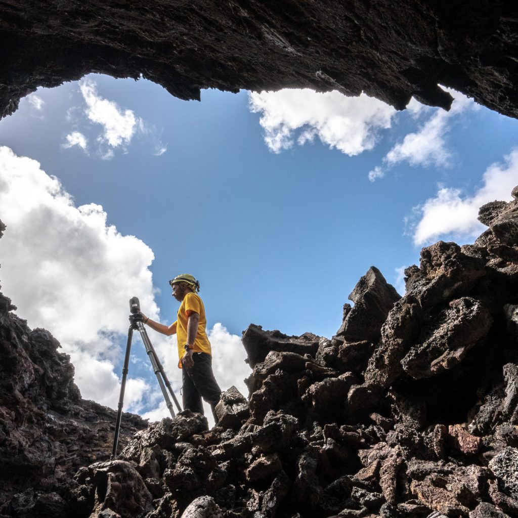
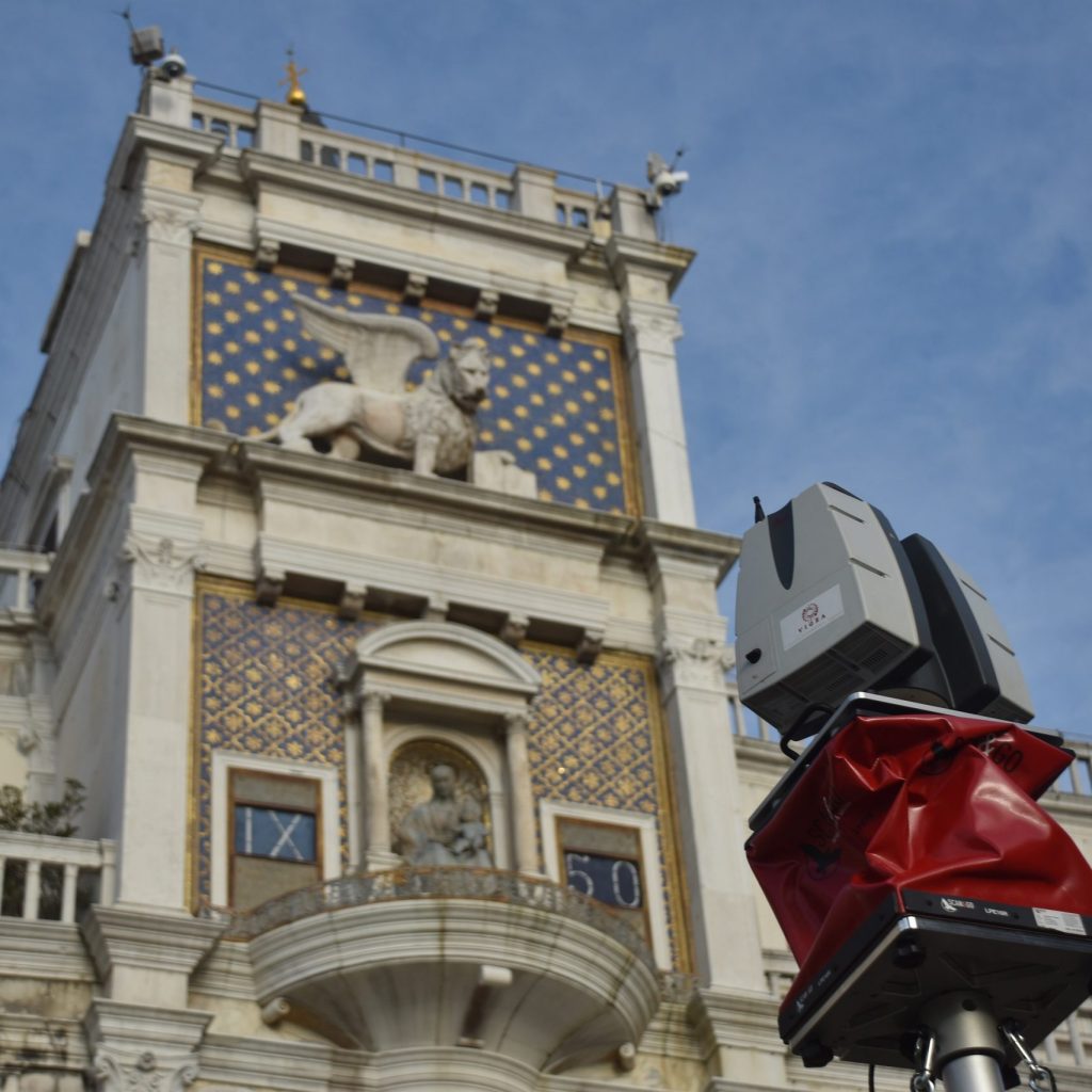
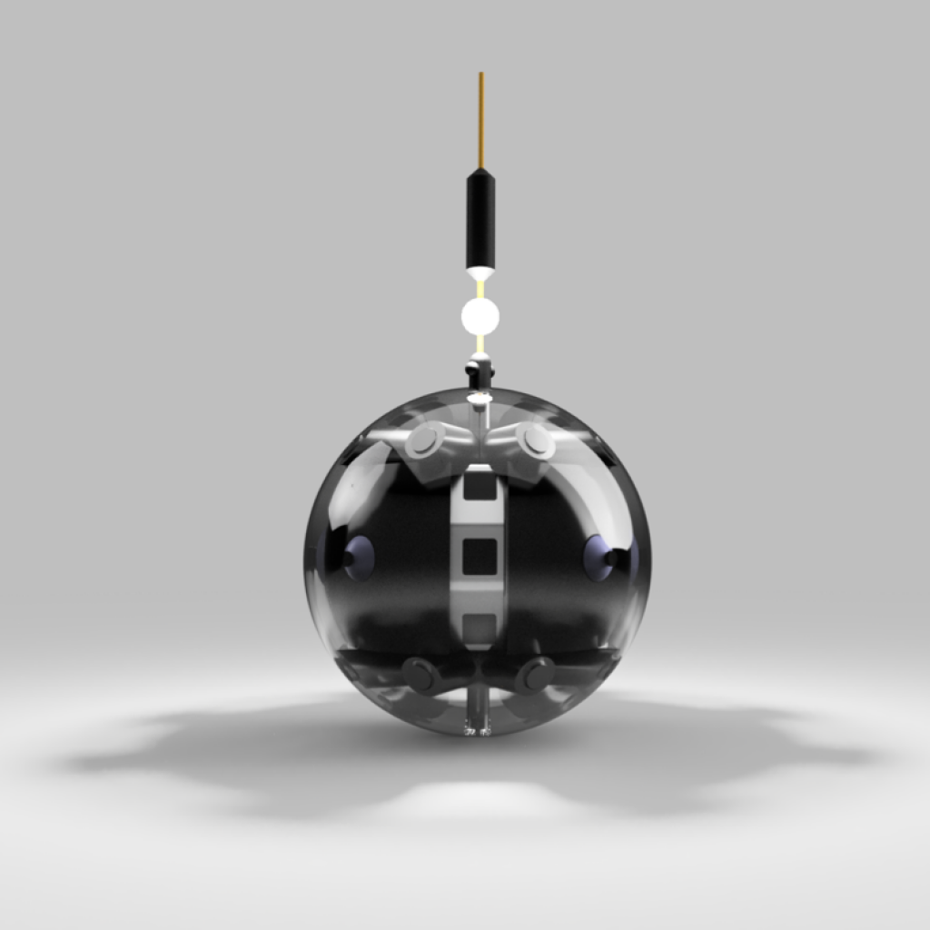
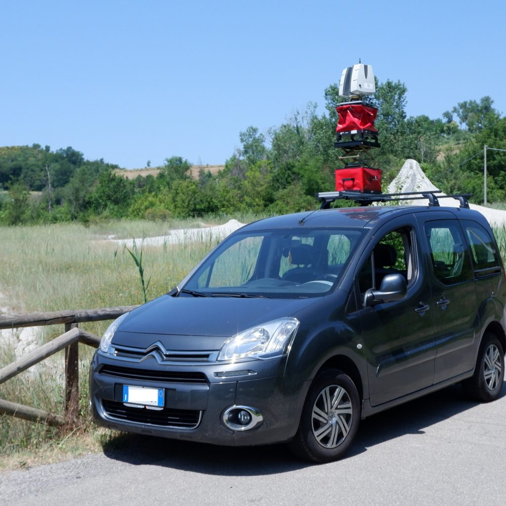
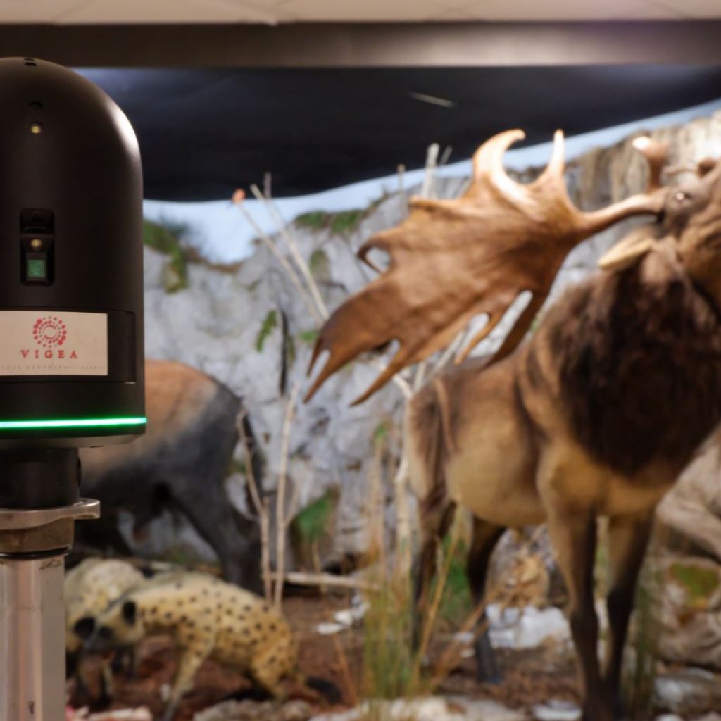
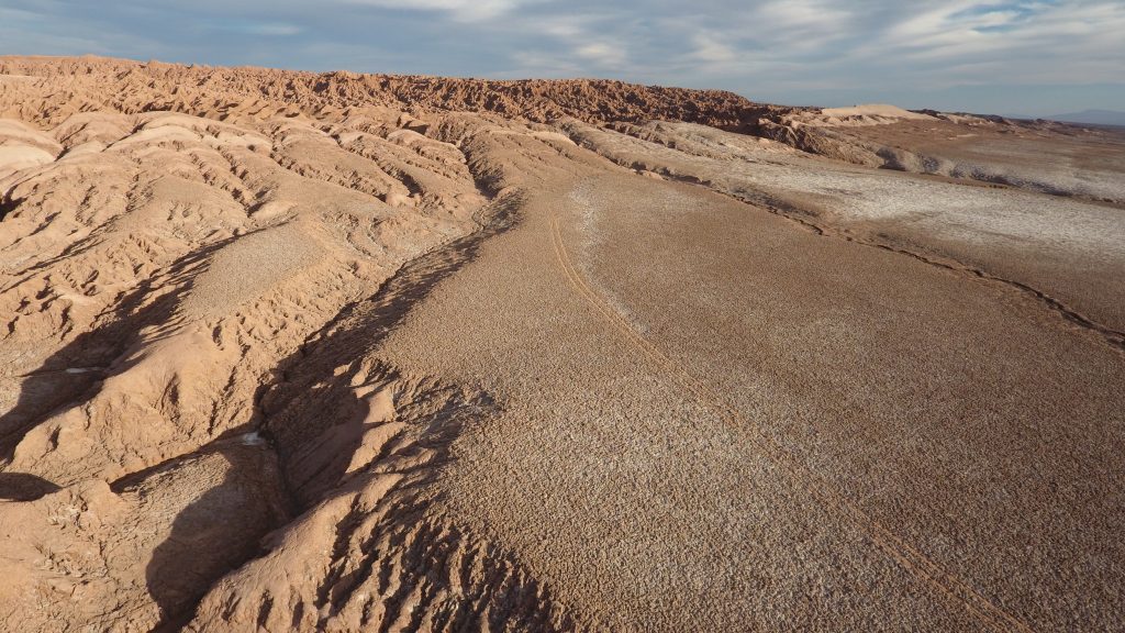
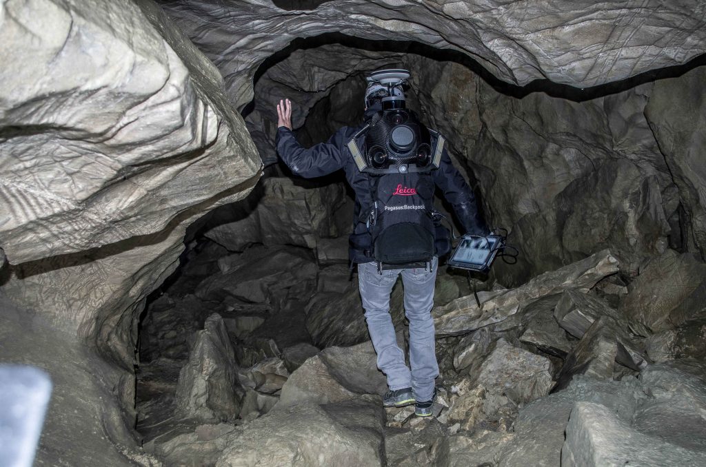
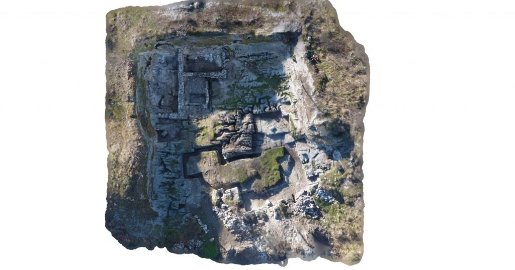
We use systems for mobile mapping that allow us to quickly perform scans in motion, in addition to drones for photogrammetric surveys with which we make photographs and aerial shots collaborating with experienced pilots and ENAC certified even for operations in critical conditions. Thanks to our skills acquired working in different fields and technologies we have, we are able to find the right solution for any project!


LET’S KEEP IN TOUCH!
You can write us through the form below, we will reply as soon as possible!
CONTACT US
[wpforms id=”98″]